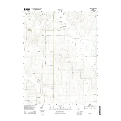
2015 Map of Shields
USGS Topo · Published 2015About this map
Skillet Fork and its winding tributaries define this rural landscape at the junction of Marion, Jefferson, and Wayne Counties. Small settlements and crossroads like Shields, Stratton, and Keenesville serve as anchors for a community deeply rooted in its local history, evidenced by an exceptionally high density of named family and church cemeteries. Genealogists will find many significant sites, including McConnaughhay Cem, Garrison Temple Cem, and the uniquely named Ten Post Oak Cem. The terrain is marked by distinctive rises such as Little Potatoe Hill and Potatoe Hill, while the hydrography shows the complex drainage of Horseshoe Slough and various creeks like Paddy Cr and Possum Cr. Historic crossings such as Mud Bridge and Gettins Bridge further illustrate the established road network connecting these remote townships.
Find a feature on this map
102 named features on this map. Tap any name to fly to it.
Don’t see what you’re looking for? This feature index may not catch every label — zoom into the map to look around manually.
Map Details
Editions of this 2015 Shields Map
This is the sole edition of this map. No revisions or reprints were ever made.
Other maps of this area

1933 · Mount Vernon
USGS Topo · 1:48,000

1934 · Salem
USGS Topo · 1:62,500

1938 · Salem
USGS Topo · 1:62,500

1940 · Mount Vernon
USGS Topo · 1:62,500

1947 · Wayne City
USGS Topo · 1:62,500

1952 · Xenia
USGS Topo · 1:62,500

1958 · Belleville
USGS Topo · 1:250,000

1962 · Belleville
USGS Topo · 1:250,000

1964 · Opdyke
USGS Topo · 1:24,000

1965 · Iuka
USGS Topo · 1:24,000