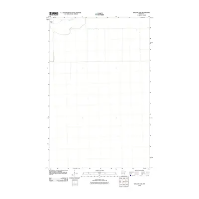
2010 Map of Shilling Dam
USGS Topo · Published 2010About this map
Shilling Dam and the winding course of the Rapid River dominate the northern edge of this northern Minnesota landscape. This region of Beltrami County is defined by its vast, low-lying wetlands and the grid-like partitioning of the land, characteristic of the state's remote forest and bog management areas. Apart from the utility of Rapid River Rd, which follows the river's path, the terrain is largely undeveloped, showing the minimalist infrastructure required to manage these water resources in the early 21st century. The map provides a precise record of the hydrological features and the subtle elevation changes that govern the flow of the river through this quiet portion of the wilderness.
Find a feature on this map
3 named features on this map. Tap any name to fly to it.
Don’t see what you’re looking for? This feature index may not catch every label — zoom into the map to look around manually.
Map Details
Editions of this 2010 Shilling Dam Map
This is the sole edition of this map. No revisions or reprints were ever made.
Other maps of this area

1918 · F
USGS Topo · 1:62,500

1919 · G
USGS Topo · 1:62,500

1919 · Ponemah
USGS Topo · 1:62,500

1943 · Ponemah
USGS Topo · 1:62,500

1954 · Roseau
USGS Topo · 1:250,000

1957 · Roseau
USGS Topo · 1:250,000

1958 · Roseau
USGS Topo · 1:250,000

1973 · Manomin Creek
USGS Topo · 1:24,000

1973 · Thorhult
USGS Topo · 1:24,000
1973 · Shilling Dam NW
USGS Topo · 1:24,000