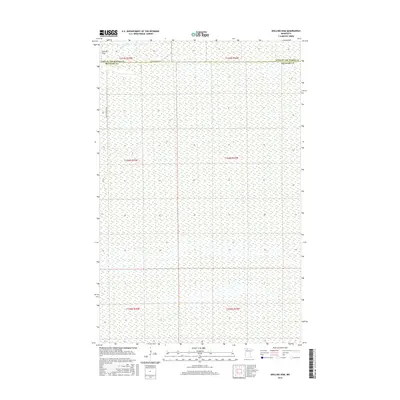
2016 Map of Shilling Dam
USGS Topo · Published 2016About this map
Rapid River flows through the northern reaches of this landscape, crossing the administrative boundary between Lake of the Woods and Beltrami counties. This remote wetland environment is punctuated by Shilling Dam in the northwest, a focal point in a territory largely defined by its extensive marshlands and water systems. The map detail reflects the vast, undeveloped character of the northern Minnesota peatlands, where the land is organized by the Public Land Survey System into townships like t156n r35w. Access to this interior is limited to utilitarian routes such as Rapid River Rd NW and Rapid River Rd SW, which navigate the fringes of the saturated terrain.
Find a feature on this map
11 named features on this map. Tap any name to fly to it.
Don’t see what you’re looking for? This feature index may not catch every label — zoom into the map to look around manually.
Map Details
Editions of this 2016 Shilling Dam Map
This is the sole edition of this map. No revisions or reprints were ever made.
Other maps of this area

1918 · F
USGS Topo · 1:62,500

1919 · G
USGS Topo · 1:62,500

1919 · Ponemah
USGS Topo · 1:62,500

1943 · Ponemah
USGS Topo · 1:62,500

1954 · Roseau
USGS Topo · 1:250,000

1957 · Roseau
USGS Topo · 1:250,000

1958 · Roseau
USGS Topo · 1:250,000

1973 · Manomin Creek
USGS Topo · 1:24,000

1973 · Thorhult
USGS Topo · 1:24,000
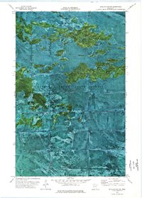
1973 · Shilling Dam NW
USGS Topo · 1:24,000