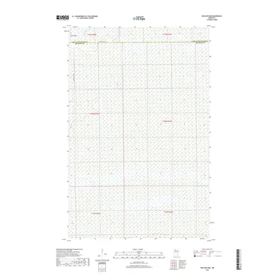
2019 Map of Shilling Dam
USGS Topo · Published 2019About this map
Rapid River winds through the northern portion of this landscape, marking a remote section of the border between Lake of the Woods County and Beltrami County. The area is characterized by an extensive wetland network, with few man-made intrusions beyond the namesake Shilling Dam and a sparse grid of forest access roads. The presence of Rapid River Rd SW and Rapid River Rd NW suggests a terrain managed for conservation or timber, where the natural water table dictates the layout of the land. This map provides a clear view of the complex hydrography and public land survey system divisions in this northern Minnesota wilderness, documenting the precise boundary line where these two counties meet.
Find a feature on this map
11 named features on this map. Tap any name to fly to it.
Don’t see what you’re looking for? This feature index may not catch every label — zoom into the map to look around manually.
Map Details
Editions of this 2019 Shilling Dam Map
This is the sole edition of this map. No revisions or reprints were ever made.
Other maps of this area

1918 · F
USGS Topo · 1:62,500

1919 · G
USGS Topo · 1:62,500

1919 · Ponemah
USGS Topo · 1:62,500

1943 · Ponemah
USGS Topo · 1:62,500

1954 · Roseau
USGS Topo · 1:250,000

1957 · Roseau
USGS Topo · 1:250,000

1958 · Roseau
USGS Topo · 1:250,000

1973 · Manomin Creek
USGS Topo · 1:24,000

1973 · Thorhult
USGS Topo · 1:24,000
1973 · Shilling Dam NW
USGS Topo · 1:24,000