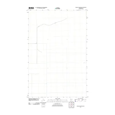
2010 Map of Shilling Dam NW
USGS Topo · Published 2010About this map
The vast, low-lying northern wetlands of Beltrami County define this landscape as it appeared in the first decade of the 21st century. This quadrangle is exceptionally sparse, reflecting a remote wilderness area where human infrastructure is nearly nonexistent. The primary indicator of passage through this territory is Gladens Trl, a path that cuts across the northern section of the terrain. The presence of this trail suggests a history of timber access or seasonal transit through the boggy reaches of northern Minnesota. This survey provides a precise record of the drainage patterns and minimal development in a region largely untouched by formal settlement or industry.
Find a feature on this map
1 named feature on this map. Tap any name to fly to it.
Don’t see what you’re looking for? This feature index may not catch every label — zoom into the map to look around manually.
Map Details
Editions of this 2010 Shilling Dam NW Map
This is the sole edition of this map. No revisions or reprints were ever made.
Other maps of this area

1918 · Winterroad
USGS Topo · 1:62,500

1918 · F
USGS Topo · 1:62,500

1918 · Malcolm
USGS Topo · 1:62,500

1954 · Roseau
USGS Topo · 1:250,000

1957 · Roseau
USGS Topo · 1:250,000

1958 · Roseau
USGS Topo · 1:250,000
1968 · Mulligan Lake
USGS Topo · 1:24,000
1969 · Winter Road Lake SE
USGS Topo · 1:24,000
1969 · Winter Road Lake SW
USGS Topo · 1:24,000

1973 · Gates Corner
USGS Topo · 1:24,000