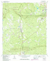
1971 Map of Shiloh
USGS Topo · Published 1986About this map
Little White House State Historic Site occupies the northern ridges of Pine Mountain, overlooking a landscape defined by the junction of Harris, Meriwether, and Talbot counties. The area exhibits a distinct settlement pattern where small communities like Shiloh and Flint Hill are situated along the rail corridors of the Southern and Seaboard lines. These railroads cross through the gaps of the parallel ridgelines, including Hodo Gap and Carlisle Gap, connecting the upland sites to the agricultural lowlands.
Find a feature on this map
54 named features on this map. Tap any name to fly to it.
Don’t see what you’re looking for? This feature index may not catch every label — zoom into the map to look around manually.
Map Details
Editions of this 1971 Shiloh Map
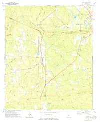
2 editions found
Other maps of this area

1907 · Talbotton
USGS Topo · 1:125,000

1934 · Warm Springs
USGS Topo · 1:62,500

1936 · Warm Springs
USGS Topo · 1:62,500

1950 · Talbotton
USGS Topo · 1:24,000

1950 · Waverly Hall
USGS Topo · 1:24,000

1950 · Cataula
USGS Topo · 1:24,000

1950 · Talbotton
USGS Topo · 1:62,500

1950 · Ellerslie
USGS Topo · 1:62,500

1955 · Talbotton
USGS Topo · 1:24,000
1955 · Waverly Hall
USGS Topo · 1:24,000