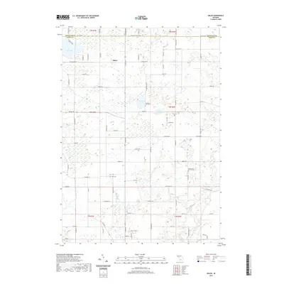
2019 Map of Shiloh
USGS Topo · Published 2019About this map
Shiloh centers this landscape in north-central Ionia County, where the agricultural grid meets a series of glacial lakes and wetlands. The map provides significant genealogical value through the documentation of several rural burial sites, most notably the Ionia County Poor Farm Cem located near the eastern edge. This site, alongside the Snows Cem, Higbee Cem, and Woodard Lake Cem, offers a detailed spatial record of early settlement patterns in this part of Michigan.
Find a feature on this map
79 named features on this map. Tap any name to fly to it.
Don’t see what you’re looking for? This feature index may not catch every label — zoom into the map to look around manually.
Map Details
Editions of this 2019 Shiloh Map
This is the sole edition of this map. No revisions or reprints were ever made.
Other maps of this area

1916 · Ionia
USGS Topo · 1:62,500

1918 · Ionia
USGS Topo · 1:62,500

1943 · Ionia
USGS Topo · 1:62,500

1945 · Portland
USGS Topo · 1:62,500

1954 · Midland
USGS Topo · 1:250,000

1958 · Midland
USGS Topo · 1:250,000

1958 · Grand Rapids
USGS Topo · 1:250,000

1959 · Midland
USGS Topo · 1:250,000

1961 · Grand Rapids
USGS Topo · 1:250,000

1962 · Grand Rapids
USGS Topo · 1:250,000
Featured Places
- Orleans Township, MI
- Ronald Township, MI
- Fairplain Township, MI
- Easton Township, MI
- Bushnell Township, MI