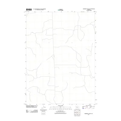
2011 Map of Shimmins Lake NE
USGS Topo · Published 2011About this map
The Nebraska Sandhills in Hooker County appear as a sparsely populated landscape in this early twenty-first-century survey. The primary infrastructure shown is Seneca S Rd, which serves as a central north-south artery through the rolling, unnamed terrain. This region is characterized by its isolation and limited development, reflecting the traditional ranching economy of the high plains where road networks are sparse and follow the natural contours of the land. The map provides an essential look at the modern rural layout and access points within this interior section of the state, serving as a baseline for understanding contemporary land use in a region where natural features often remain unnamed in official records.
Find a feature on this map
1 named feature on this map. Tap any name to fly to it.
Don’t see what you’re looking for? This feature index may not catch every label — zoom into the map to look around manually.
Map Details
Editions of this 2011 Shimmins Lake NE Map
This is the sole edition of this map. No revisions or reprints were ever made.
Other maps of this area

1948 · Seneca
USGS Topo · 1:62,500

1948 · Thedford
USGS Topo · 1:62,500

1948 · Seneca 4
USGS Topo · 1:62,500

1949 · Seneca 4
USGS Topo · 1:62,500

1950 · Thedford
USGS Topo · 1:62,500

1950 · Shimmins Lake
USGS Topo · 1:62,500

1951 · Seneca
USGS Topo · 1:62,500

1954 · North Platte
USGS Topo · 1:250,000

1956 · North Platte
USGS Topo · 1:250,000

1957 · North Platte
USGS Topo · 1:250,000