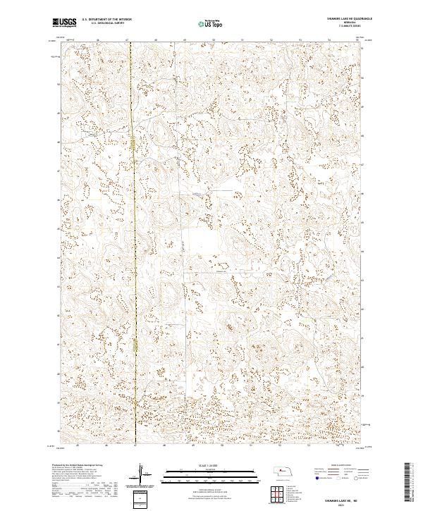
2021 Map of Shimmins Lake NE
USGS Topo · Published 2021About this map
Sandhills terrain defines the landscape along the Thomas County and Hooker County line in this 2021 survey. The map reveals a sparsely populated region of central Nebraska, characterized by a grid of rural tracks and named access roads. Significant local routes like Heritage Rd and S Seneca Ave cross the boundary, while smaller paths such as Homestead Ln and Madron Ln suggest the layout of modern ranching or agricultural divisions. The topography is marked by the distinct depressions and elevations typical of the Nebraska Sandhills, with landmarks like Windmill Rd pointing to the area's grazing heritage. This contemporary record captures the enduring rural character and ownership patterns of the t23n r31w and t23n r30w townships.
Find a feature on this map
12 named features on this map. Tap any name to fly to it.
Don’t see what you’re looking for? This feature index may not catch every label — zoom into the map to look around manually.
Map Details
Editions of this 2021 Shimmins Lake NE Map
This is the sole edition of this map. No revisions or reprints were ever made.
Other maps of this area

1948 · Seneca
USGS Topo · 1:62,500

1948 · Thedford
USGS Topo · 1:62,500

1948 · Seneca 4
USGS Topo · 1:62,500

1949 · Seneca 4
USGS Topo · 1:62,500

1950 · Thedford
USGS Topo · 1:62,500

1950 · Shimmins Lake
USGS Topo · 1:62,500

1951 · Seneca
USGS Topo · 1:62,500

1954 · North Platte
USGS Topo · 1:250,000

1956 · North Platte
USGS Topo · 1:250,000

1957 · North Platte
USGS Topo · 1:250,000