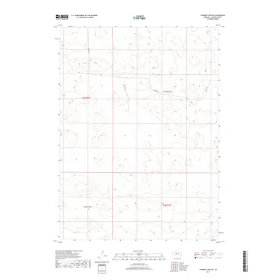
2017 Map of Shimmins Lake NW
USGS Topo · Published 2017About this map
The undulating sand hills of Hooker County characterize this area of Nebraska, where the landscape is defined by extensive topographic relief and minimal human development. Modern access to these remote reaches is provided by Heritage Rd, which cuts across the central and northeastern sections of the quadrangle. The intersection of Township 23 North and Township 22 North across Ranges 31 and 32 West marks the underlying land survey system, a framework essential for understanding property boundaries in this pastoral region. Away from the primary road, Horseshoe Dr provides one of the few named navigational points within the sectioned terrain, illustrating the sparse but deliberate layout of rural infrastructure in the early 21st century.
Find a feature on this map
6 named features on this map. Tap any name to fly to it.
Don’t see what you’re looking for? This feature index may not catch every label — zoom into the map to look around manually.
Map Details
Editions of this 2017 Shimmins Lake NW Map
This is the sole edition of this map. No revisions or reprints were ever made.
Other maps of this area

1947 · Dismal River Ranch
USGS Topo · 1:62,500

1948 · Seneca
USGS Topo · 1:62,500

1948 · Mullen
USGS Topo · 1:62,500

1949 · Dismal River Ranch
USGS Topo · 1:62,500

1950 · Shimmins Lake
USGS Topo · 1:62,500

1951 · Mullen
USGS Topo · 1:62,500

1951 · Seneca
USGS Topo · 1:62,500

1954 · North Platte
USGS Topo · 1:250,000

1956 · North Platte
USGS Topo · 1:250,000

1957 · North Platte
USGS Topo · 1:250,000