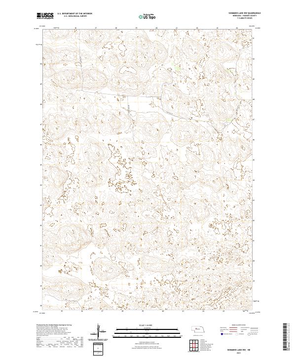
2021 Map of Shimmins Lake NW
USGS Topo · Published 2021About this map
The Sandhills of Hooker County define this landscape, where the shifting topography of Nebraska's interior is captured in high detail. This particular area is characterized by a sparse road network, primarily served by Heritage Rd and Horseshoe Dr, reflecting the isolated ranching and conservation character of the region. The map reveals the complex land divisions of the Public Land Survey System, specifically across the junctions of t23n r32w, t23n r31w, t22n r32w, and t22n r31w. The absence of dense settlement or industrial labels underscores the rural preservation of the territory, providing a clear view of the natural contours and drainage patterns that have dictated land use for generations.
Find a feature on this map
6 named features on this map. Tap any name to fly to it.
Don’t see what you’re looking for? This feature index may not catch every label — zoom into the map to look around manually.
Map Details
Editions of this 2021 Shimmins Lake NW Map
This is the sole edition of this map. No revisions or reprints were ever made.
Other maps of this area

1947 · Dismal River Ranch
USGS Topo · 1:62,500

1948 · Seneca
USGS Topo · 1:62,500

1948 · Mullen
USGS Topo · 1:62,500

1949 · Dismal River Ranch
USGS Topo · 1:62,500

1950 · Shimmins Lake
USGS Topo · 1:62,500

1951 · Mullen
USGS Topo · 1:62,500

1951 · Seneca
USGS Topo · 1:62,500

1954 · North Platte
USGS Topo · 1:250,000

1956 · North Platte
USGS Topo · 1:250,000

1957 · North Platte
USGS Topo · 1:250,000