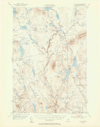
1954 Map of Shin Pond
USGS Topo · Published 1956About this map
Seboeis Farm and the Seboeis Fish and Game Club Camps sit within a landscape of remote woods and interconnected waterways defined by the Seboeis River and the East Branch Penobscot River. This mid-century survey reveals the infrastructure of Maine's north woods, where the Matagamon Tote Road and Grand Lake Road provided essential access for logging and sportsmen. The topography is dominated by peaks like Mount Chase and Snowshoe Mtn, while the interior is punctuated by numerous "deadwaters" and "rips," such as Hobart Deadwater and Tiger Rips. These labels reflect a specific vernacular of the river-driving era, marking areas where current slowed or water cascaded over rocks. From the Forest Service Camp to private sporting outposts like Bowlin Camps, the map documents a region dedicated to forestry and wilderness recreation.
Find a feature on this map
84 named features on this map. Tap any name to fly to it.
Don’t see what you’re looking for? This feature index may not catch every label — zoom into the map to look around manually.
Map Details
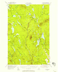
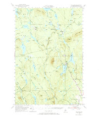
Editions of this 1954 Shin Pond Map
4 editions found

Other maps of this area

1927 · Katahdin
USGS Topo · 1:48,000

1930 · Katahdin
USGS Topo · 1:62,500

1940 · Island Falls
USGS Topo · 1:62,500

1940 · Sherman
USGS Topo · 1:62,500

1940 · Oxbow
USGS Topo · 1:62,500

1942 · Island Falls
USGS Topo · 1:62,500

1942 · Oxbow
USGS Topo · 1:62,500

1942 · Sherman
USGS Topo · 1:62,500

1949 · Katahdin
USGS Topo · 1:62,500

1953 · Stacyville
USGS Topo · 1:62,500