
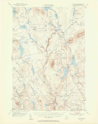
1954 Map of Shin Pond
USGS Topo · Published 1956About this map
Seboeis Farm and Hay Brook Farm stand as isolated clearings in the mid-1950s Maine North Woods, illustrating the enduring agricultural and sporting presence in this remote interior. The landscape is defined by the Seboeis River and the East Branch Penobscot River, where water features like Tiger Rips, Godfrey Pitch, and Grand Pitch suggest the difficult log-driving terrain once central to the region's economy. These river corridors are flanked by prominent elevations including Mount Chase and Snowshoe Mtn.
Find a feature on this map
94 named features on this map. Tap any name to fly to it.
Don’t see what you’re looking for? This feature index may not catch every label — zoom into the map to look around manually.
Map Details
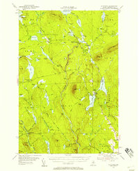
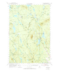
Editions of this 1954 Shin Pond Map
4 editions found
Other maps of this area

1927 · Katahdin
USGS Topo · 1:48,000

1930 · Katahdin
USGS Topo · 1:62,500

1940 · Island Falls
USGS Topo · 1:62,500

1940 · Sherman
USGS Topo · 1:62,500

1940 · Oxbow
USGS Topo · 1:62,500

1942 · Island Falls
USGS Topo · 1:62,500

1942 · Oxbow
USGS Topo · 1:62,500

1942 · Sherman
USGS Topo · 1:62,500

1949 · Katahdin
USGS Topo · 1:62,500

1953 · Stacyville
USGS Topo · 1:62,500