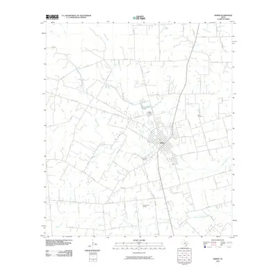
2010 Map of Shiner
USGS Topo · Published 2010About this map
Shiner, Texas, serves as the central hub of this Lavaca County landscape, situated at the intersection of US Hwy 90 Alt and local routes. The town’s grid is clearly defined, with Avenue E and Hilltop Rd extending into the surrounding countryside. This rural terrain is deeply carved by a network of waterways, most notably Boggy Creek and Rocky Creek, which converge south of the settlement. The map reveals the local social and agricultural structure through features like the Shiner Cemetery, Bunjus Cemetery, and San Pedro Cemetery, alongside the Gerum Farm Airport to the south. To the north, Green-Dickson Lake provides a rare localized water catchment. The abundance of county roads, such as Co Rd 332 and Co Rd 321, underscores the importance of the livestock and farming economy that has sustained this region for generations.
Find a feature on this map
70 named features on this map. Tap any name to fly to it.
Don’t see what you’re looking for? This feature index may not catch every label — zoom into the map to look around manually.
Map Details
Editions of this 2010 Shiner Map
This is the sole edition of this map. No revisions or reprints were ever made.
Other maps of this area

1901 · Flatonia
USGS Topo · 1:125,000

1953 · Seguin
USGS Topo · 1:250,000

1958 · Seguin
USGS Topo · 1:250,000

1959 · Hochheim
USGS Topo · 1:24,000

1959 · Hamon
USGS Topo · 1:24,000

1962 · Dilworth
USGS Topo · 1:24,000

1963 · Yoakum
USGS Topo · 1:24,000

1963 · Sweet Home
USGS Topo · 1:24,000

1965 · Wied
USGS Topo · 1:24,000

1965 · Komensky
USGS Topo · 1:24,000