
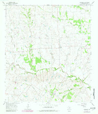
1965 Map of Komensky
USGS Topo · Published 1967About this map
Novohrad and Komensky anchor this mid-1960s portrait of rural Lavaca County, where a network of watercourses defines the local topography. The landscape is dominated by the confluence of the North Fork Lavaca River and the West Prong Lavaca River, which together form the main channel of the Lavaca River as it flows southeast. This area is characterized by dispersed agricultural settlements and gravel extraction, with multiple Gravel Pits noted near the riverbanks and along Smothers Creek.
Find a feature on this map
17 named features on this map. Tap any name to fly to it.
Don’t see what you’re looking for? This feature index may not catch every label — zoom into the map to look around manually.
Map Details
Editions of this 1965 Komensky Map
2 editions found
Other maps of this area

1901 · Flatonia
USGS Topo · 1:125,000

1919 · Schulenburg
USGS Topo · 1:62,500

1953 · Seguin
USGS Topo · 1:250,000

1958 · Seguin
USGS Topo · 1:250,000

1962 · Hallettsville
USGS Topo · 1:24,000

1965 · Schulenburg
USGS Topo · 1:24,000

1965 · Wied
USGS Topo · 1:24,000
1965 · Moravia
USGS Topo · 1:24,000

1965 · Flatonia
USGS Topo · 1:24,000
1965 · Flatonia NW
USGS Topo · 1:24,000