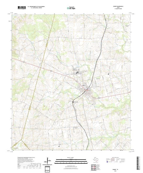
2022 Map of Shiner
USGS Topo · Published 2022About this map
Shiner serves as the focal point of this Texas landscape, situated at the confluence of several regional roads and waterways. The town's cultural heritage is deeply imprinted on the land through its numerous cemeteries, including the Saints Cyril and Methodius Catholic Cem - North and the SPJST Cem, reflecting the diverse fraternal and religious organizations of the community. Outside the town center, the terrain is defined by a network of creeks such as Rocky Cr and Boggy Cr, which snake through the countryside towards the low-lying Turkey Bottom in the southwest corner.
Find a feature on this map
114 named features on this map. Tap any name to fly to it.
Don’t see what you’re looking for? This feature index may not catch every label — zoom into the map to look around manually.
Map Details
Editions of this 2022 Shiner Map
This is the sole edition of this map. No revisions or reprints were ever made.
Other maps of this area

1901 · Flatonia
USGS Topo · 1:125,000

1953 · Seguin
USGS Topo · 1:250,000

1958 · Seguin
USGS Topo · 1:250,000

1959 · Hochheim
USGS Topo · 1:24,000

1959 · Hamon
USGS Topo · 1:24,000

1962 · Dilworth
USGS Topo · 1:24,000

1963 · Yoakum
USGS Topo · 1:24,000

1963 · Sweet Home
USGS Topo · 1:24,000

1965 · Wied
USGS Topo · 1:24,000

1965 · Komensky
USGS Topo · 1:24,000