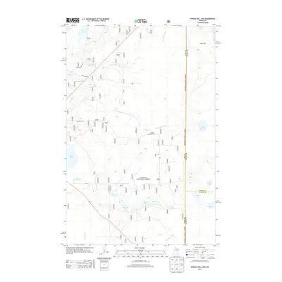
2013 Map of Shingle Mill Lake
USGS Topo · Published 2013About this map
Chippewa National Forest spans much of this landscape in Itasca County, defined by an intricate network of waterways and managed impoundments. The terrain is dominated by the Sugar Hills in the northeast, while the Willow River and its North and South Forks wind through the central wetlands. Water management is a visible priority here, seen in the Birch Lake Impoundment, Loon Lake Impoundment, and Pine Tree Impoundment, which regulate the flow across this low-lying region. These man-made features sit alongside natural basins such as Shingle Mill Lake, Holy Water Lake, and Sailor Lake. The map details a secondary transportation network of US Forest Service roads, including Forest Rte 2743 and Forest Rte 2101, which provide access to the timber and recreation areas of the northern woods.
Find a feature on this map
31 named features on this map. Tap any name to fly to it.
Don’t see what you’re looking for? This feature index may not catch every label — zoom into the map to look around manually.
Map Details
Editions of this 2013 Shingle Mill Lake Map
This is the sole edition of this map. No revisions or reprints were ever made.
Other maps of this area

1953 · Siseebakwet Lake
USGS Topo · 1:24,000

1953 · Duluth
USGS Topo · 1:250,000

1954 · Hibbing
USGS Topo · 1:250,000

1957 · Hibbing
USGS Topo · 1:250,000

1958 · Hibbing
USGS Topo · 1:250,000

1958 · Duluth
USGS Topo · 1:250,000

1964 · Hibbing
USGS Topo · 1:250,000

1970 · Big Thunder Peak
USGS Topo · 1:24,000

1970 · Shovel Lake
USGS Topo · 1:24,000
1970 · Thunder Lake
USGS Topo · 1:24,000