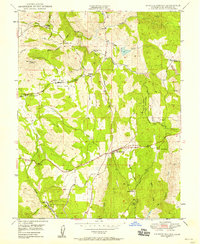
1949 Map of Shingle Springs
USGS Topo · Published 1958About this map
Shingle Springs and the surrounding El Dorado County foothills are defined by a legacy of resource extraction and early ranching as they appeared in the late 1940s. The Southern Pacific railroad cuts through the landscape, connecting settlements like Rescue, Skinners, and the small community at Frenchtown. The map documents a significant mining presence, marking several inactive sites such as the Funny Bug Mine, Pyramid Mine, and Crystal Mine, alongside the Shaw Mine Mill.
Find a feature on this map
38 named features on this map. Tap any name to fly to it.
Don’t see what you’re looking for? This feature index may not catch every label — zoom into the map to look around manually.
Map Details
Editions of this 1949 Shingle Springs Map
4 editions found
Other maps of this area

1891 · Sacramento
USGS Topo · 1:125,000

1891 · Placerville
USGS Topo · 1:125,000

1892 · Sacramento
USGS Topo · 1:125,000

1892 · Placerville
USGS Topo · 1:125,000

1893 · Placerville
USGS Topo · 1:125,000

1893 · Sacramento
USGS Topo · 1:125,000

1941 · Folsom
USGS Topo · 1:62,500
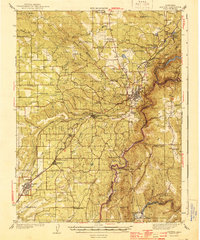
1944 · Auburn
USGS Topo · 1:62,500
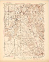
1944 · Folsom
USGS Topo · 1:62,500

1947 · Sacramento
USGS Topo · 1:250,000