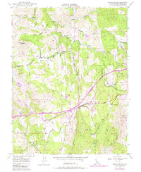
1949 Map of Shingle Springs
USGS Topo · Published 1984About this map
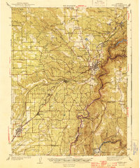
Shingle Springs and the surrounding El Dorado County foothills reveal a landscape shaped by both early mining and evolving transportation networks. The presence of numerous extraction sites, including the Funny Bug Mine, Pyramid Mine, and Greenstone Mine, points to the region's enduring mineral history. The Southern Pacific railroad cuts through the terrain, passing near the Shingle Springs Indian Reservation and connecting established settlements like Rescue and Frenchtown.
Find a feature on this map
38 named features on this map. Tap any name to fly to it.
Don’t see what you’re looking for? This feature index may not catch every label — zoom into the map to look around manually.
Map Details
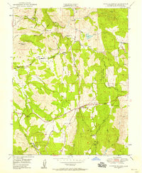
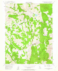
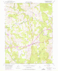
Editions of this 1949 Shingle Springs Map
4 editions found
Other maps of this area

1891 · Sacramento
USGS Topo · 1:125,000

1891 · Placerville
USGS Topo · 1:125,000

1892 · Sacramento
USGS Topo · 1:125,000

1892 · Placerville
USGS Topo · 1:125,000

1893 · Placerville
USGS Topo · 1:125,000

1893 · Sacramento
USGS Topo · 1:125,000

1941 · Folsom
USGS Topo · 1:62,500
1944 · Auburn
USGS Topo · 1:62,500

1944 · Folsom
USGS Topo · 1:62,500

1947 · Sacramento
USGS Topo · 1:250,000