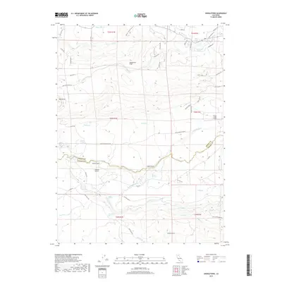
2018 Map of Shingletown
USGS Topo · Published 2018About this map
Shingletown Ridge dominates the northern landscape of this Shasta County region, where the terrain drops away into a complex network of canyons and watercourses. The 2018 survey reveals a territory defined by its water management history, featuring prominent irrigation infrastructure like Wildcat Ditch, Eagle Canyon Ditch, and Cross Country Ditch that follow the natural contours of the land. Small clusters of activity are found at Darrah Springs and Spring Gardens, while the presence of the Double Creek Airpark suggests the modern accessibility of this higher-elevation area.
Find a feature on this map
62 named features on this map. Tap any name to fly to it.
Don’t see what you’re looking for? This feature index may not catch every label — zoom into the map to look around manually.
Map Details
Editions of this 2018 Shingletown Map
This is the sole edition of this map. No revisions or reprints were ever made.
Other maps of this area

1886 · Lassen Peak
USGS Topo · 1:250,000

1890 · Red Bluff
USGS Topo · 1:250,000

1892 · Lassen Peak
USGS Topo · 1:250,000

1894 · Lassen Peak
USGS Topo · 1:250,000

1894 · Red Bluff
USGS Topo · 1:250,000

1901 · Redding
USGS Topo · 1:125,000

1935 · Burney
USGS Topo · 1:96,000

1935 · Paynes Creek
USGS Topo · 1:96,000

1939 · Burney
USGS Topo · 1:125,000

1941 · Mineral
USGS Topo · 1:125,000