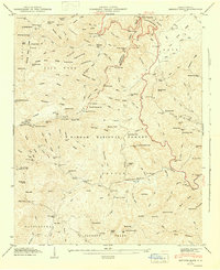
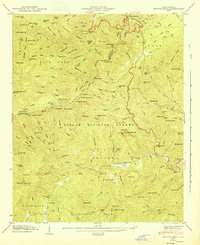
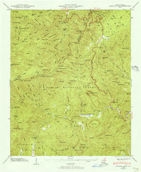
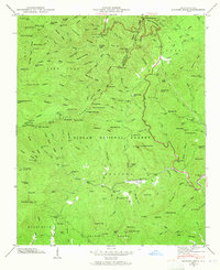
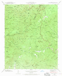
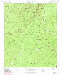
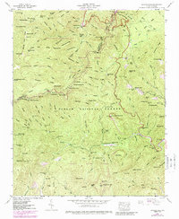
1946 Map of Shining Rock
USGS Topo · Published 1947About this map
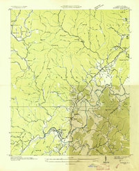
The high ridges of the Pisgah National Forest dominate this 1946 field examination, showcasing a landscape defined by dramatic elevations and deep water prongs. The newly established Blue Ridge Parkway winds through the northern portion of the quadrangle, crossing Wagon Road Gap and signaling the era's transition toward mountain tourism and accessibility. Higher peaks such as Shining Rock and Black Balsam Knob stand as prominent landmarks above the East Fork Pigeon River.
Find a feature on this map
128 named features on this map. Tap any name to fly to it.
Don’t see what you’re looking for? This feature index may not catch every label — zoom into the map to look around manually.
Map Details
Editions of this 1946 Shining Rock Map
7 editions found
Other maps of this area

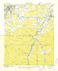
1905 · Pisgah
USGS Topo · 1:125,000

1906 · Pisgah
USGS Topo · 1:125,000

1935 · Cruso
USGS Topo · 1:24,000

1935 · Brevard
USGS Topo · 1:24,000
1935 · Waynesville
USGS Topo · 1:24,000

1935 · Sam Knob
USGS Topo · 1:24,000
1935 · Rosman
USGS Topo · 1:24,000

1935 · Lake Toxaway
USGS Topo · 1:24,000

1935 · Shining Rock
USGS Topo · 1:24,000

1935 · Pisgah Forest
USGS Topo · 1:24,000