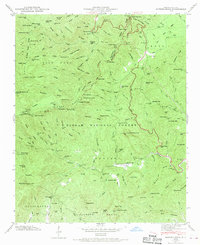
1946 Map of Shining Rock
USGS Topo · Published 1970About this map
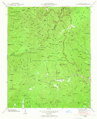
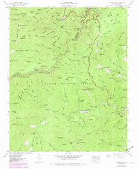
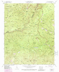
Pisgah National Forest dominates this mid-century landscape, characterized by the intricate drainage systems of the Davidson River and the East Fork Pigeon River. The terrain is marked by significant vertical relief, from the high peaks of Shining Rock and Tennent Mountain to the deep recesses of Greasy Cove. Human impact is visible through the winding route of the Blue Ridge Parkway and the inclusion of technical sites like the Fish Rearing Station and a Lookout Tower on Pilot Mtn. Local family history and land use are preserved in names like Picklesimer Fields and numerous gap crossings such as Ivestor Gap and Wagon Road Gap. This Tennessee Valley Authority survey captures the area before modern recreational development intensified, documenting traditional landmarks such as Yellowstone Falls and various benchmark locations across the high ridges.
Find a feature on this map
162 named features on this map. Tap any name to fly to it.
Don’t see what you’re looking for? This feature index may not catch every label — zoom into the map to look around manually.
Map Details
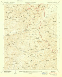
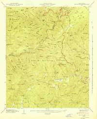
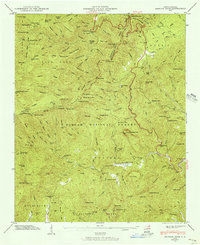
Editions of this 1946 Shining Rock Map
7 editions found
Other maps of this area

1905 · Pisgah
USGS Topo · 1:125,000

1906 · Pisgah
USGS Topo · 1:125,000

1935 · Cruso
USGS Topo · 1:24,000

1935 · Brevard
USGS Topo · 1:24,000

1935 · Waynesville
USGS Topo · 1:24,000

1935 · Sam Knob
USGS Topo · 1:24,000

1935 · Rosman
USGS Topo · 1:24,000

1935 · Lake Toxaway
USGS Topo · 1:24,000

1935 · Shining Rock
USGS Topo · 1:24,000

1935 · Pisgah Forest
USGS Topo · 1:24,000