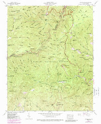
1946 Map of Shining Rock
USGS Topo · Published 1988About this map
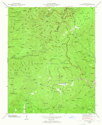
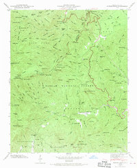
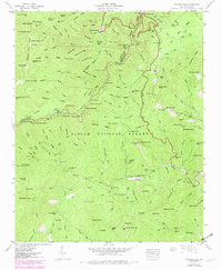
The Shining Rock Wilderness Area and Pisgah National Forest dominate this mid-century survey of the high-elevation terrain along the Haywood and Transylvania county line. The landscape is defined by the headwaters of the Davidson River and the Pigeon River, where a network of trails and the Blue Ridge Parkway cross the ridgelines at notable passes like Wagon Road Gap and Beech Spring Gap.
Find a feature on this map
162 named features on this map. Tap any name to fly to it.
Don’t see what you’re looking for? This feature index may not catch every label — zoom into the map to look around manually.
Map Details
Editions of this 1946 Shining Rock Map
7 editions found
Other maps of this area

1905 · Pisgah
USGS Topo · 1:125,000

1906 · Pisgah
USGS Topo · 1:125,000

1935 · Cruso
USGS Topo · 1:24,000

1935 · Brevard
USGS Topo · 1:24,000

1935 · Waynesville
USGS Topo · 1:24,000

1935 · Sam Knob
USGS Topo · 1:24,000

1935 · Rosman
USGS Topo · 1:24,000

1935 · Lake Toxaway
USGS Topo · 1:24,000

1935 · Shining Rock
USGS Topo · 1:24,000

1935 · Pisgah Forest
USGS Topo · 1:24,000