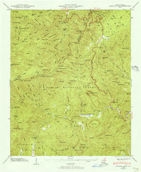
1946 Map of Shining Rock
USGS Topo · Published 1956About this map
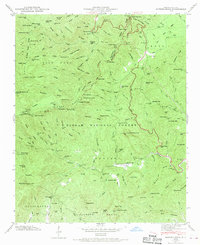
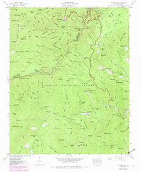
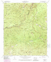
Pisgah National Forest dominates this mid-century survey of the high-elevation wilderness where the Haywood and Transylvania county lines meet. The landscape is defined by the headwaters of the Big East Fork Pigeon River and the Davidson River, which flow from a series of prominent peaks and ridges. Notable features include the Shining Rock formation and its surrounding ledge, along with several significant waterfalls such as Yellowstone Falls, Second Falls, and Slick Rock Falls.
Find a feature on this map
128 named features on this map. Tap any name to fly to it.
Don’t see what you’re looking for? This feature index may not catch every label — zoom into the map to look around manually.
Map Details
Editions of this 1946 Shining Rock Map
7 editions found
Other maps of this area

1905 · Pisgah
USGS Topo · 1:125,000

1906 · Pisgah
USGS Topo · 1:125,000

1935 · Cruso
USGS Topo · 1:24,000

1935 · Brevard
USGS Topo · 1:24,000

1935 · Waynesville
USGS Topo · 1:24,000

1935 · Sam Knob
USGS Topo · 1:24,000

1935 · Rosman
USGS Topo · 1:24,000

1935 · Lake Toxaway
USGS Topo · 1:24,000

1935 · Shining Rock
USGS Topo · 1:24,000

1935 · Pisgah Forest
USGS Topo · 1:24,000