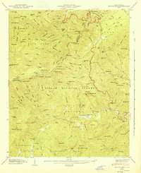
1946 Map of Shining Rock
USGS Topo · Published 1947About this map
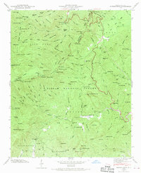
Pisgah National Forest encompasses this high-elevation landscape in the mid-1940s, where the headwaters of the North Fork French Broad River and Davidson River carve through the Southern Appalachian peaks. The map details a transition in mountain access, featuring the Blue Ridge Parkway winding along the heights near Black Balsam Knob. Local resource management and land use are evidenced by the Fish Rearing Station along the Davidson River and a Lookout Tower positioned atop Pilot Mtn. The terrain is defined by a series of prominent ridges including Ivestor Ridge and Graveyard Ridge, leading toward the distinct white quartz of Shining Rock. Traces of earlier industry remain visible through labels for a Silvermine and an unspecified Mine on the lower slopes, while various gaps like Ivestor Gap and Gloucester Gap mark the traditional transit routes through these steep divides.
Find a feature on this map
138 named features on this map. Tap any name to fly to it.
Don’t see what you’re looking for? This feature index may not catch every label — zoom into the map to look around manually.
Map Details
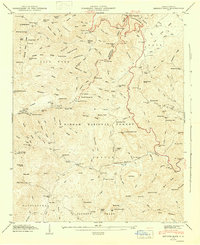
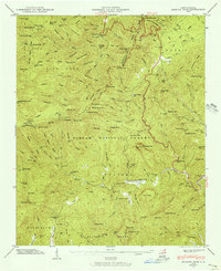
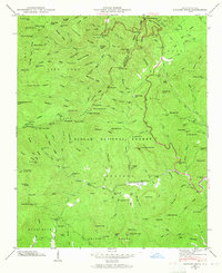
Editions of this 1946 Shining Rock Map
7 editions found
Other maps of this area

1905 · Pisgah
USGS Topo · 1:125,000

1906 · Pisgah
USGS Topo · 1:125,000

1935 · Cruso
USGS Topo · 1:24,000

1935 · Brevard
USGS Topo · 1:24,000

1935 · Waynesville
USGS Topo · 1:24,000

1935 · Sam Knob
USGS Topo · 1:24,000

1935 · Rosman
USGS Topo · 1:24,000

1935 · Lake Toxaway
USGS Topo · 1:24,000

1935 · Shining Rock
USGS Topo · 1:24,000

1935 · Pisgah Forest
USGS Topo · 1:24,000