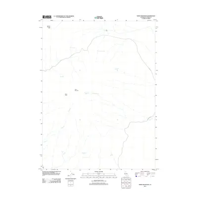
2012 Map of Shinn Mountain
USGS Topo · Published 2012About this map
Shinn Mountain and the adjacent Shinn Peaks dominate this high-desert landscape in eastern Lassen County. The distribution of water sources across this arid terrain is the primary indicator of human activity and cattle ranging, with named locations like Juniper Jim Spring, McKissick Spring, and Cottonwood Spring serving as vital landmarks. The presence of Post Camp in the northern reaches and Toms Cabin Spring suggests a history of seasonal ranching and line camps common to the Great Basin fringe.
Find a feature on this map
16 named features on this map. Tap any name to fly to it.
Don’t see what you’re looking for? This feature index may not catch every label — zoom into the map to look around manually.
Map Details
Editions of this 2012 Shinn Mountain Map
This is the sole edition of this map. No revisions or reprints were ever made.
Other maps of this area

1886 · Honey Lake
USGS Topo · 1:250,000

1891 · Honey Lake
USGS Topo · 1:250,000

1893 · Honey Lake
USGS Topo · 1:250,000

1954 · Observation Peak
USGS Topo · 1:62,500

1954 · Karlo
USGS Topo · 1:62,500

1954 · Ravendale
USGS Topo · 1:62,500

1954 · Shinn Mountain
USGS Topo · 1:62,500

1955 · Westwood
USGS Topo · 1:250,000

1958 · Westwood
USGS Topo · 1:250,000

1959 · Westwood
USGS Topo · 1:250,000