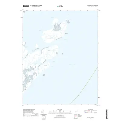
2019 Map of Ship Shoal Inlet
USGS Topo · Published 2019About this map
Ship Shoal Island and a series of dynamic barrier islands define this coastal reach of Northampton County, where the terrestrial landscape yields to the complex hydrology of the Virginia shore. The map illustrates a labyrinth of tidal passages and marshy breaks, including Ship Shoal Inlet, Bungalow Inlet, and the protected waters of Mink Island Bay. These shifting sands and salt marshes, such as Big Creek Marsh, represent a fragile environment where narrow channels like Black Rock Channel and White Perch Channel provide the primary navigation through the barrier system.
Find a feature on this map
27 named features on this map. Tap any name to fly to it.
Don’t see what you’re looking for? This feature index may not catch every label — zoom into the map to look around manually.
Map Details
Editions of this 2019 Ship Shoal Inlet Map
This is the sole edition of this map. No revisions or reprints were ever made.
Other maps of this area

1941 · Broadwater
USGS Topo · 1:62,500

1942 · Cheriton
USGS Topo · 1:24,000

1942 · Cobb Island
USGS Topo · 1:24,000

1942 · Great Machipongo Inlet
USGS Topo · 1:24,000

1943 · Townsend
USGS Topo · 1:24,000

1946 · Eastville
USGS Topo · 1:250,000
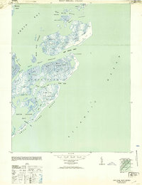
1953 · Ship Shoal Inlet
USGS Topo · 1:24,000
1955 · Cheriton
USGS Topo · 1:24,000
1955 · Townsend
USGS Topo · 1:24,000

1961 · Eastville
USGS Topo · 1:250,000