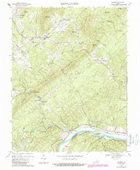
1969 Map of Shipman
USGS Topo · Published 1987About this map
Southern railroad tracks bisect the Nelson County landscape, connecting the hillside settlements of Shipman and Montreal during this mid-century period. The terrain is defined by the prominent Findlay Mountain and Turner Mountain, which create natural corridors for watercourses like Rucker Run and Meadow Creek. To the south, the James River forms the county line with Buckingham County, winding past Cunninghams Island and the riverside community of Norwood.
Find a feature on this map
62 named features on this map. Tap any name to fly to it.
Don’t see what you’re looking for? This feature index may not catch every label — zoom into the map to look around manually.
Map Details
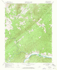
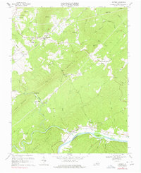
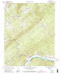
Editions of this 1969 Shipman Map
4 editions found
Other maps of this area

1892 · Buckingham
USGS Topo · 1:125,000

1929 · Covesville
USGS Topo · 1:62,500

1935 · Covesville
USGS Topo · 1:62,500

1943 · Lovingston
USGS Topo · 1:62,500

1945 · Covesville
USGS Topo · 1:62,500

1946 · Lovingston
USGS Topo · 1:62,500

1947 · Roanoke
USGS Topo · 1:250,000

1959 · Roanoke
USGS Topo · 1:250,000

1961 · Shipman
USGS Topo · 1:62,500

1961 · Buckingham
USGS Topo · 1:62,500