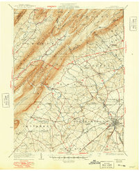
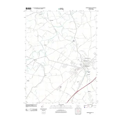
1923 Map of Shippensburg
USGS Topo · Published 1948About this map
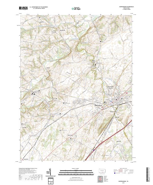
Shippensburg serves as the primary hub of this 1921 survey, where the State Normal School and the Maryland Electric Railway converge at the foot of Timber Hill. The landscape transitions from the dense settlement of the valley floor to the prominent ridges of the Blue Mountain and Kittatinny Mountain, which are pierced by the Pennsylvania Turnpike. Small agricultural hamlets like Newburg and Roxbury are linked by a network of rural schoolhouses, including the Chestnut Grove School and Summit Level School, reflecting the decentralized education system of the early twentieth century. Along the winding Conodoguinet Creek, the map details a complex terrain of knobs and hollows, such as Eckenrode Knob and Three Square Hollow Run, where isolated settlements like Doylesburg and Amberson persist in the narrow Amberson Valley between the peaks.
Find a feature on this map
92 named features on this map. Tap any name to fly to it.
Don’t see what you’re looking for? This feature index may not catch every label — zoom into the map to look around manually.
Map Details
Editions of this 1923 Shippensburg Map
3 editions found

Historical Maps of Shippensburg Through Time
9 maps found
1923 Shippensburg
Cumberland County, PA

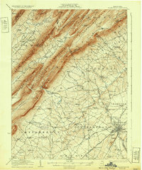
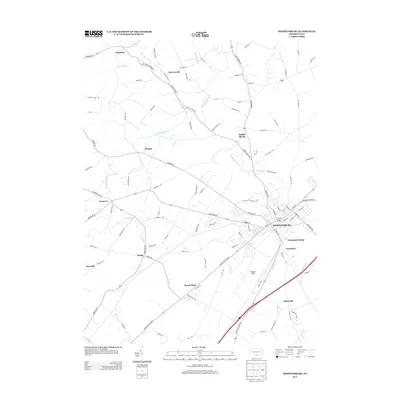
1943 Shippensburg
Cumberland County, PA
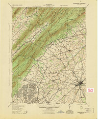
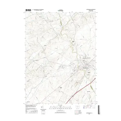
1945 Shippensburg
Cumberland County, PA
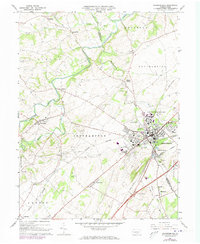
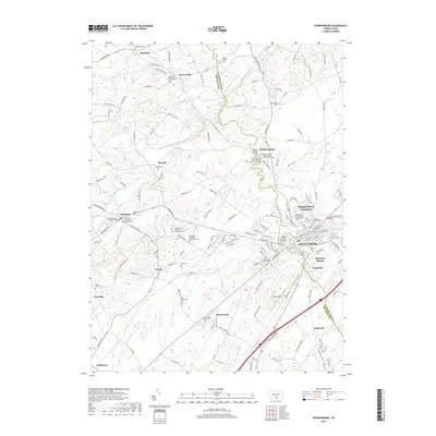
1966 Shippensburg
Cumberland County, PA
2010 Shippensburg
Cumberland County, PA
2013 Shippensburg
Cumberland County, PA
2016 Shippensburg
Cumberland County, PA
2019 Shippensburg
Cumberland County, PA
2023 Shippensburg
Cumberland County, PA