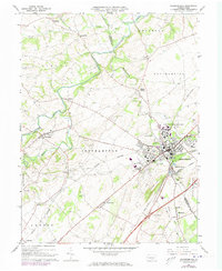
1966 Map of Shippensburg
USGS Topo · Published 1973About this map
Shippensburg State College serves as a prominent focal point for this region of Southampton and Hopewell townships during the mid-1960s. The landscape is defined by the winding course of Conodoguinet Creek and its many tributaries, including Middle Spring Creek and Muddy Run. This era shows a complex transportation network where major rail lines like the Penn Central, Reading, and Western Maryland intersect within the corporate boundaries of Shippensburg.
Find a feature on this map
55 named features on this map. Tap any name to fly to it.
Don’t see what you’re looking for? This feature index may not catch every label — zoom into the map to look around manually.
Map Details
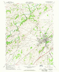
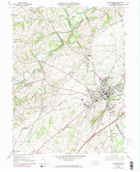
Editions of this 1966 Shippensburg Map
Other maps of this area

1902 · Chambersburg
USGS Topo · 1:62,500

1909 · Fairfield
USGS Topo · 1:62,500

1919 · Newville
USGS Topo · 1:62,500

1923 · Shippensburg
USGS Topo · 1:62,500

1942 · Hagerstown
USGS Topo · 1:125,000

1942 · Gettysburg
USGS Topo · 1:125,000

1943 · Hagerstown
USGS Topo · 1:125,000

1943 · Chambersburg
USGS Topo · 1:62,500

1943 · Shippensburg
USGS Topo · 1:62,500

1944 · Scotland
USGS Topo · 1:31,680