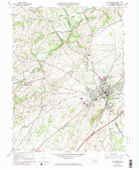
1966 Map of Shippensburg
USGS Topo · Published 1973About this map
The Shippensburg Corporate Boundary anchors this mid-century Pennsylvania landscape, highlighting the growth of Shippensburg State College and the surrounding valley. The map reveals a high concentration of institutional and civic landmarks, including Spring Hill Cemetery, the Fairgrounds, and the Burd Sch. A trio of major rail lines—Penn Central, Reading, and Western Maryland—converge here, illustrating the town's importance as a transportation hub between the South Mountain and Blue Mountain ranges.
Find a feature on this map
52 named features on this map. Tap any name to fly to it.
Don’t see what you’re looking for? This feature index may not catch every label — zoom into the map to look around manually.
Map Details
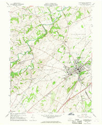
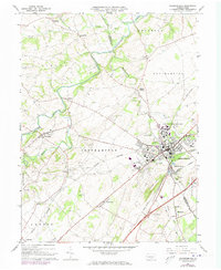
Editions of this 1966 Shippensburg Map
Other maps of this area

1902 · Chambersburg
USGS Topo · 1:62,500

1909 · Fairfield
USGS Topo · 1:62,500

1919 · Newville
USGS Topo · 1:62,500

1923 · Shippensburg
USGS Topo · 1:62,500

1942 · Hagerstown
USGS Topo · 1:125,000

1942 · Gettysburg
USGS Topo · 1:125,000

1943 · Hagerstown
USGS Topo · 1:125,000

1943 · Chambersburg
USGS Topo · 1:62,500

1943 · Shippensburg
USGS Topo · 1:62,500

1944 · Scotland
USGS Topo · 1:31,680