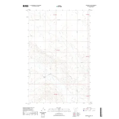
2020 Map of Shipstead Coulee
USGS Topo · Published 2020About this map
Shipstead Coulee and its surrounding drainage systems define this landscape in Daniels County, Montana. The topography is dominated by the seasonal flow of Police Cr in the north and the W Fork Poplar River which cuts through the southern reaches. This modern survey illustrates a remote prairie environment where human presence is primarily marked by a sparse network of section-line and creek-following roads.
Find a feature on this map
13 named features on this map. Tap any name to fly to it.
Don’t see what you’re looking for? This feature index may not catch every label — zoom into the map to look around manually.
Map Details
Editions of this 2020 Shipstead Coulee Map
This is the sole edition of this map. No revisions or reprints were ever made.
Other maps of this area

1954 · Wolf Point
USGS Topo · 1:250,000

1958 · Wolf Point
USGS Topo · 1:250,000

1973 · Peerless 4 NE
USGS Topo · 1:24,000

1973 · West Fork NE
USGS Topo · 1:24,000

1973 · Peerless
USGS Topo · 1:24,000

1973 · Killenbeck Reservoir
USGS Topo · 1:24,000

1973 · Peerless 4 SE
USGS Topo · 1:24,000

1973 · Peerless 4 SW
USGS Topo · 1:24,000

1973 · Four Buttes
USGS Topo · 1:24,000

1973 · Poplar Coulee
USGS Topo · 1:24,000