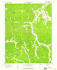
1958 Map of Shirley
USGS Topo · Published 1959About this map
Sunnen Lake and the winding course of the Fourche a Renault define the central landscape of this late-1950s survey within the Clark National Forest. The settlement of Shirley serves as a focal point for the surrounding rural communities, which are mapped with a high density of country churches and family burial grounds. Local history is recorded through landmarks such as Lost Creek Ch, White Oak Grove Ch, and Bunker Hill Ch, alongside several cemeteries including Stephens Cem and Martin Cem. The geography is further characterized by numerous creek branches like Montgomery Creek and Race Creek, which carve through the Ozark terrain near Belgrade. High points like Little Pilot Knob and a strategic Lookout Tower reflect the area's forest management history, while Camp Lakewood indicates the region's development for recreational use during the mid-century era.
Find a feature on this map
34 named features on this map. Tap any name to fly to it.
Don’t see what you’re looking for? This feature index may not catch every label — zoom into the map to look around manually.
Map Details
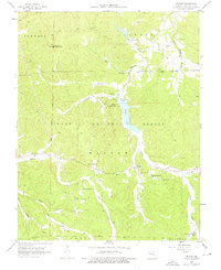
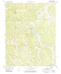
Editions of this 1958 Shirley Map
3 editions found
Other maps of this area

1901 · De Soto
USGS Topo · 1:125,000

1903 · Sullivan
USGS Topo · 1:125,000

1906 · Potosi
USGS Topo · 1:62,500

1943 · Berryman
USGS Topo · 1:62,500

1945 · Berryman
USGS Topo · 1:62,500

1946 · Richwoods
USGS Topo · 1:62,500

1947 · Sullivan
USGS Topo · 1:62,500

1948 · Richwoods
USGS Topo · 1:62,500

1949 · Saint Louis
USGS Topo · 1:250,000

1949 · Sullivan
USGS Topo · 1:62,500