
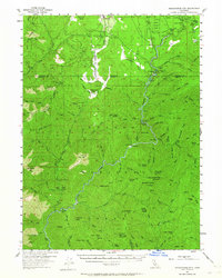
1954 Map of Shoeinhorse Mountain
USGS Topo · Published 1956About this map
Wyntoon and the McCloud River Club anchor this mid-century survey of the McCloud River canyon within the Shasta National Forest. The landscape is defined by the river’s descent through a series of falls, including Upper Falls, Middle Falls, and Lower Falls, and its confluence with numerous cold mountain streams. Evidence of timber harvesting and remote residence is scattered throughout the territory, from the Logging Camp near Big Springs to the Willow Creek Ranch. Local transit is represented by a network of Jeep Trails and the Water Trough Trail, which served the region's camps and lookout points. Landmarks such as Shoeinhorse Mtn, Yellowjacket Mtn, and Bald Mtn dominate the topography, while smaller settlements like Rinckel and the appropriately named Ghost Camp hint at the seasonal and industrial character of this mountain environment during the 1950s.
Find a feature on this map
109 named features on this map. Tap any name to fly to it.
Don’t see what you’re looking for? This feature index may not catch every label — zoom into the map to look around manually.
Map Details
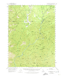
Editions of this 1954 Shoeinhorse Mountain Map
3 editions found
Other maps of this area

1886 · Lassen Peak
USGS Topo · 1:250,000

1886 · Modoc Lava Bed
USGS Topo · 1:250,000

1886 · Shasta
USGS Topo · 1:250,000

1890 · Red Bluff
USGS Topo · 1:250,000

1892 · Modoc Lava-Bed
USGS Topo · 1:250,000

1892 · Lassen Peak
USGS Topo · 1:250,000

1894 · Lassen Peak
USGS Topo · 1:250,000

1894 · Red Bluff
USGS Topo · 1:250,000

1894 · Shasta
USGS Topo · 1:250,000

1901 · Redding
USGS Topo · 1:125,000