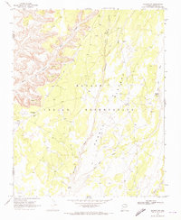
1970 Map of Shonto NW
USGS Topo · Published 1973About this map
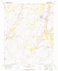
The Navajo Indian Reservation landscape is defined here by deep drainage systems and high plateaus as they appeared in 1970. Significant cultural and topographical features such as Inscription House and the nearby Rodeo Grounds reflect the lived environment of this portion of Navajo County. The terrain is marked by the Shonto Plateau and several critical water sources, including Adadka Spring and Sand Spring. A network of Jeep Trails provides the primary transit through the complex topography of Geshi Canyon and along the Begashibito Wash. The map also identifies scattered Ruins and a Quarry, indicating both ancient and modern human activity within this high-desert environment. This survey captures a moment when traditional land use and limited modern infrastructure, like the localized Water Tank, coexisted across the drainage basins of Shonto Wash and Last End Wash.
Find a feature on this map
18 named features on this map. Tap any name to fly to it.
Don’t see what you’re looking for? This feature index may not catch every label — zoom into the map to look around manually.
Map Details
Editions of this 1970 Shonto NW Map
2 editions found
Other maps of this area

1883 · Marsh Pass
USGS Topo · 1:250,000

1892 · Marsh Pass
USGS Topo · 1:250,000

1956 · Marble Canyon
USGS Topo · 1:250,000

1959 · Marble Canyon
USGS Topo · 1:250,000

1961 · Marble Canyon
USGS Topo · 1:250,000

1970 · Whirlwind Rock
USGS Topo · 1:24,000

1970 · Shonto SE
USGS Topo · 1:24,000
1970 · Betatakin Ruin
USGS Topo · 1:24,000
1970 · Tall Mountain
USGS Topo · 1:24,000
1970 · Shonto
USGS Topo · 1:24,000