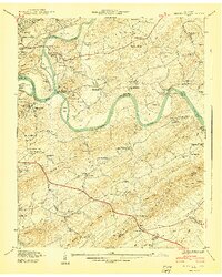
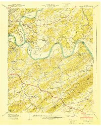
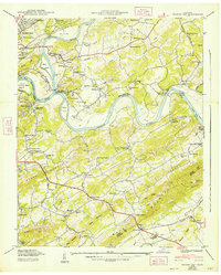
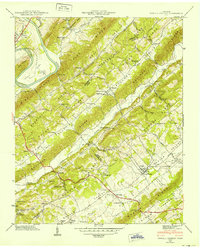
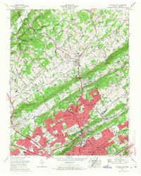
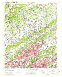
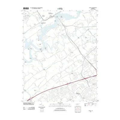
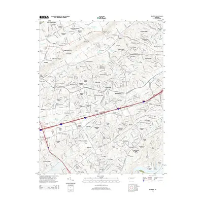
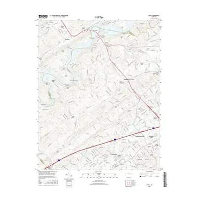
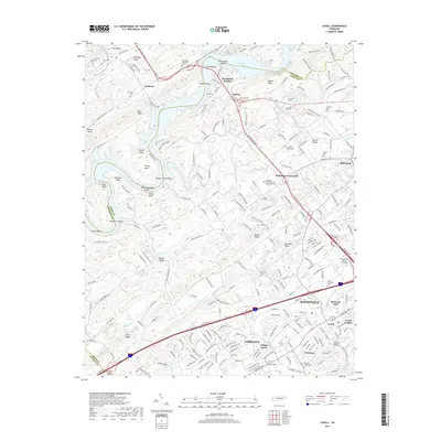
1940 Map of Shooks Gap
USGS Topo · Published 1940About this map
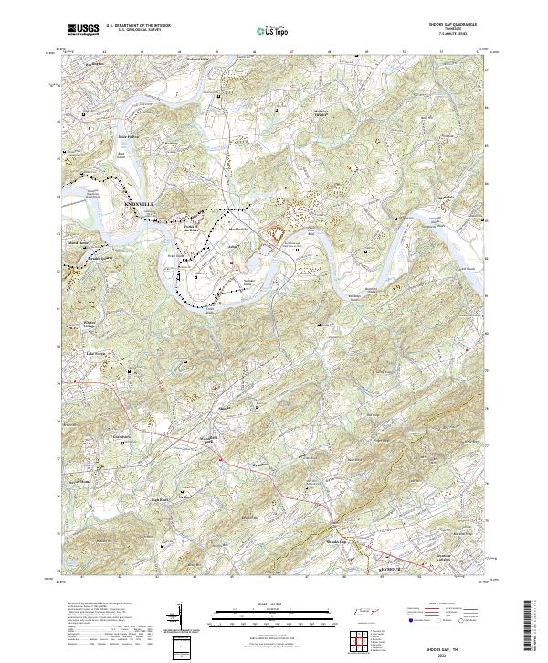
The French Broad River and Holston River converge to form the Tennessee River at the western edge of this 1940 survey, a landscape defined by its winding waterways and the prominent ridges of Brown Mountain and Bays Mountain. This era shows a community deeply rooted in its local institutions, with numerous country schools like Dora Kennedy Sch and churches such as Hendron Chapel serving small settlements like Marbledale and Shooks.
Find a feature on this map
93 named features on this map. Tap any name to fly to it.
Don’t see what you’re looking for? This feature index may not catch every label — zoom into the map to look around manually.
Map Details
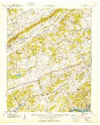
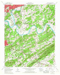
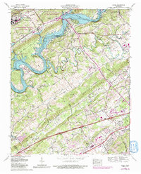
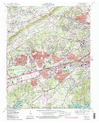
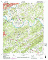
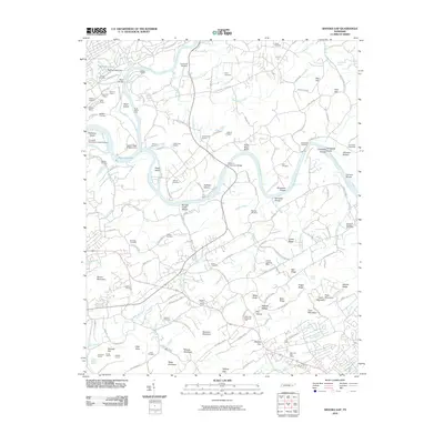
Editions of this 1940 Shooks Gap Map
3 editions found
Historical Maps of Knoxville Through Time
44 maps found

1935 Bearden
Knox County, TN

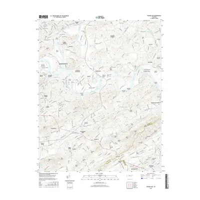
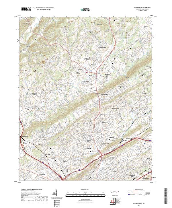
1935 Fountain City
Knox County, TN

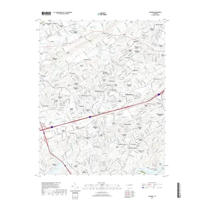
1935 Lovell
Knox County, TN

1936 Friendship
Knox County, TN

1936 Gorryton
Knox County, TN

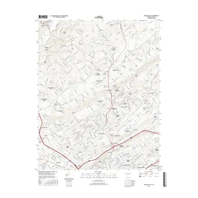
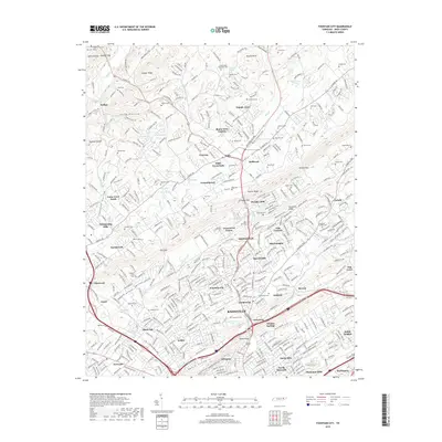
1936 Powell Station
Knox County, TN

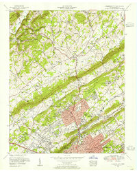
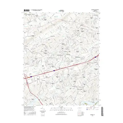
1936 Shooks Gap
Knox County, TN
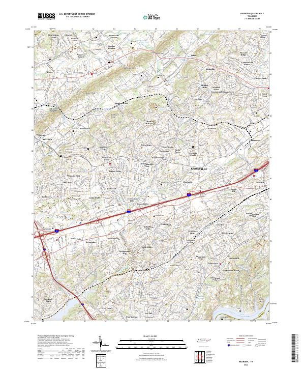
1940 Bearden
Knox County, TN

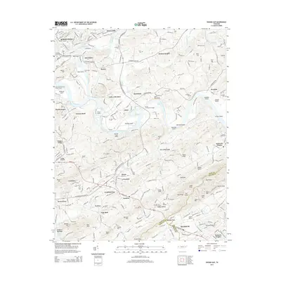
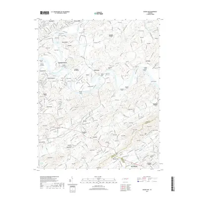
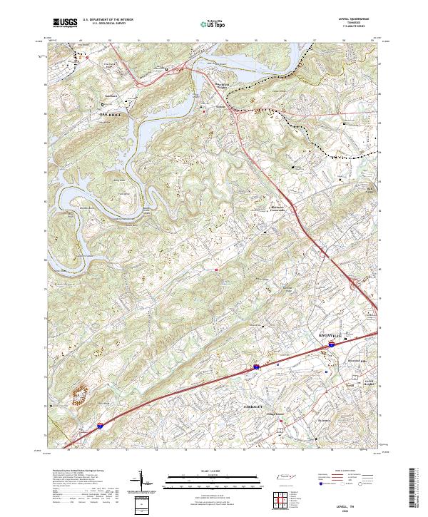
1940 Lovell
Knox County, TN
1940 Shooks Gap
Knox County, TN

1941 Fountain City
Knox County, TN

1941 Lovell
Knox County, TN
1941 Powell Station
Knox County, TN

1953 Bearden
Knox County, TN
1953 Fountain City
Knox County, TN
1953 Lovell
Knox County, TN
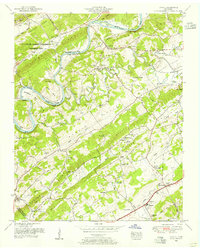
1953 Shooks Gap
Knox County, TN

1966 Bearden
Knox County, TN
1966 Fountain City
Knox County, TN
1966 Shooks Gap
Knox County, TN
1968 Lovell
Knox County, TN
1978 Bearden
Knox County, TN
1978 Fountain City
Knox County, TN
1979 Shooks Gap
Knox County, TN
2010 Bearden
Knox County, TN
2010 Fountain City
Knox County, TN
2010 Lovell
Knox County, TN
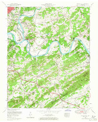
2010 Shooks Gap
Knox County, TN
2013 Fountain City
Knox County, TN
2013 Lovell
Knox County, TN
2014 Bearden
Knox County, TN
2014 Shooks Gap
Knox County, TN
2016 Bearden
Knox County, TN
2016 Fountain City
Knox County, TN
2016 Lovell
Knox County, TN
2016 Shooks Gap
Knox County, TN
2019 Bearden
Knox County, TN
2019 Fountain City
Knox County, TN
2019 Lovell
Knox County, TN
2019 Shooks Gap
Knox County, TN
2022 Bearden
Knox County, TN
2022 Fountain City
Knox County, TN
2022 Lovell
Knox County, TN
2022 Shooks Gap
Knox County, TN