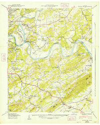
1940 Map of Shooks Gap
USGS Topo · Published 1947About this map
The French Broad River and Holston River converge here to form the Tennessee River, a critical geographic junction surveyed just before the construction of Fort Loudoun Dam was set to alter the western water levels. This landscape is a complex network of river islands and shoals, including Pickel Island, Boyd Island, and the treacherous McNutt Shoals. The era's river-dependent economy is visible through the Riverdale Ferry and the Boyd Bridge, providing essential crossings for rural communities like Marbledale and Asbury.
Find a feature on this map
93 named features on this map. Tap any name to fly to it.
Don’t see what you’re looking for? This feature index may not catch every label — zoom into the map to look around manually.
Map Details
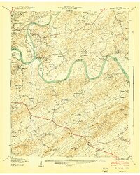
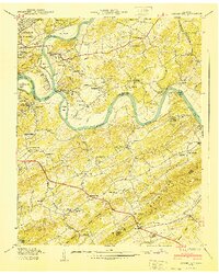
Editions of this 1940 Shooks Gap Map
3 editions found
Other maps of this area

1886 · Knoxville
USGS Topo · 1:125,000

1892 · Knoxville
USGS Topo · 1:125,000

1894 · Knoxville
USGS Topo · 1:125,000

1895 · Knoxville
USGS Topo · 1:125,000

1897 · Maynardville
USGS Topo · 1:125,000

1900 · Maynardville
USGS Topo · 1:125,000

1901 · Knoxville
USGS Topo · 1:125,000

1935 · Mascot
USGS Topo · 1:24,000

1935 · Knoxville
USGS Topo · 1:48,000

1935 · Straw Plains
USGS Topo · 1:48,000