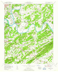
1953 Map of Shooks Gap
USGS Topo · Published 1954About this map
Fort Loudoun Lake and the confluence of the French Broad River and Holston River define this corner of East Tennessee during a period of significant hydroelectric and suburban development. The map details the expansive Eastern State Hospital Farm and the riverside Holston Hills Country Club, illustrating the evolving land use east of Knoxville. Rural life is preserved through family-named landmarks like McCall Branch and Armstrong Cemetery, while the industrial extraction at Meades Quarry and Neubert Quarry points to the region's geological resources.
Find a feature on this map
135 named features on this map. Tap any name to fly to it.
Don’t see what you’re looking for? This feature index may not catch every label — zoom into the map to look around manually.
Map Details
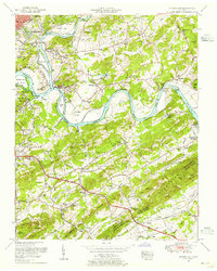
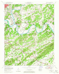
Editions of this 1953 Shooks Gap Map
3 editions found
Other maps of this area

1886 · Knoxville
USGS Topo · 1:125,000

1892 · Knoxville
USGS Topo · 1:125,000

1894 · Knoxville
USGS Topo · 1:125,000

1895 · Knoxville
USGS Topo · 1:125,000

1897 · Maynardville
USGS Topo · 1:125,000

1900 · Maynardville
USGS Topo · 1:125,000

1901 · Knoxville
USGS Topo · 1:125,000

1935 · Mascot
USGS Topo · 1:24,000

1935 · Knoxville
USGS Topo · 1:48,000

1935 · Straw Plains
USGS Topo · 1:48,000