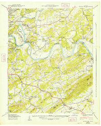
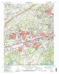
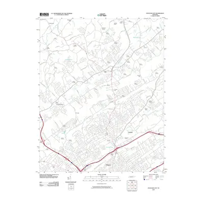
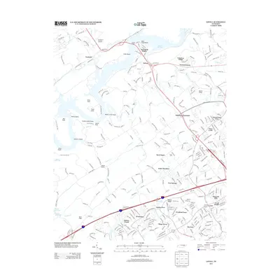
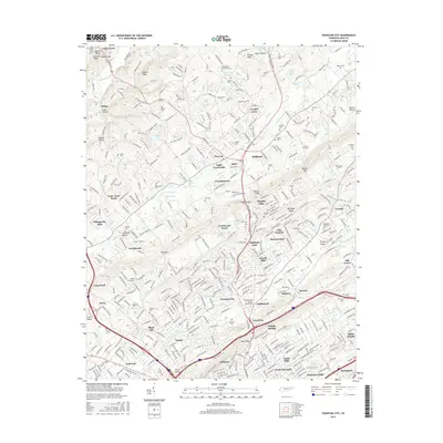
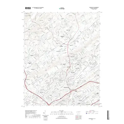
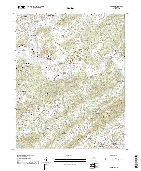
1979 Map of Shooks Gap
USGS Topo · Published 1986About this map
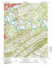
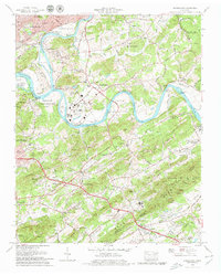
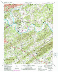
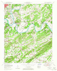
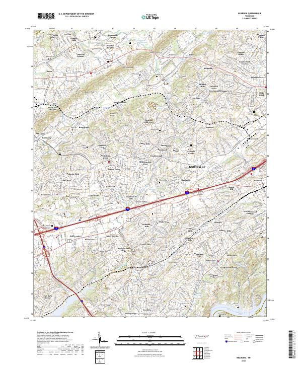
Fort Loudoun Lake and the French Broad River dominate this landscape southeast of Knoxville, where the river confluence at Forks of the River creates a complex system of islands and shoals. The 1970s terrain reveals a mix of suburban expansion and industrial legacies, particularly around Marbledale and Asbury, where Meades Quarry and Neubert Quarry point to the area's geological history of stone extraction. The residential character of Seymour and Seymour Heights contrasts with the managed landscape of the Eastern State Wildlife Management Area and the Holston Hills Golf and Country Club.
Find a feature on this map
92 named features on this map. Tap any name to fly to it.
Don’t see what you’re looking for? This feature index may not catch every label — zoom into the map to look around manually.
Map Details
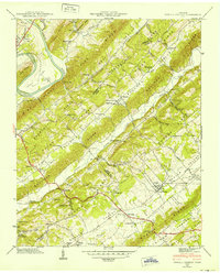
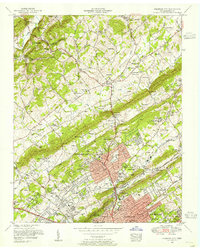
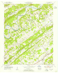
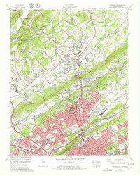
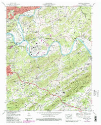
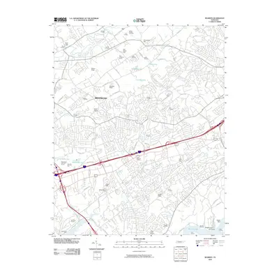
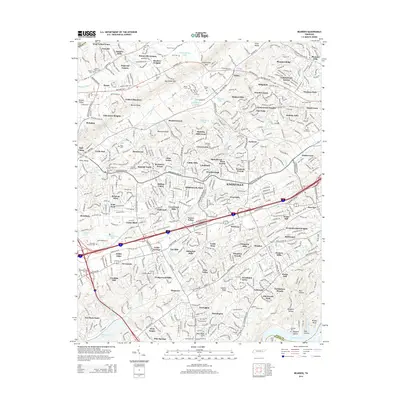
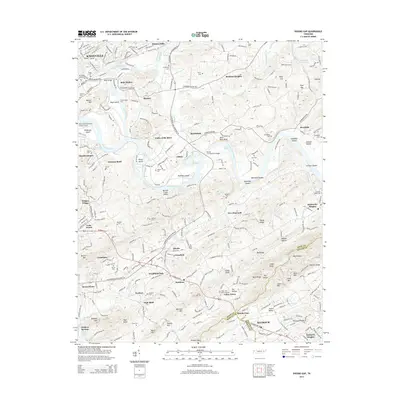
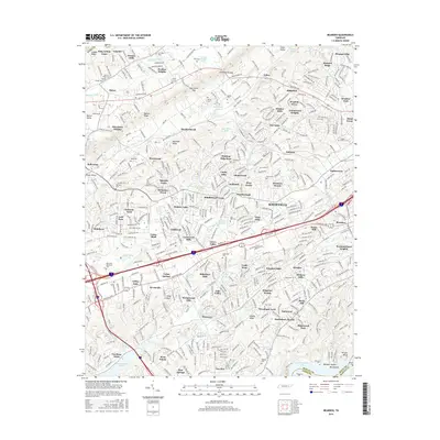
Editions of this 1979 Shooks Gap Map
4 editions found
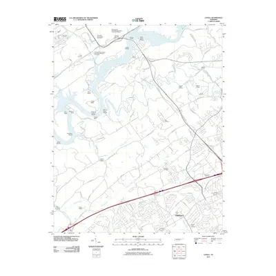
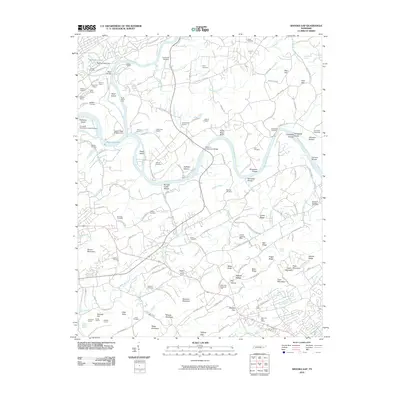
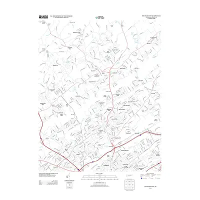
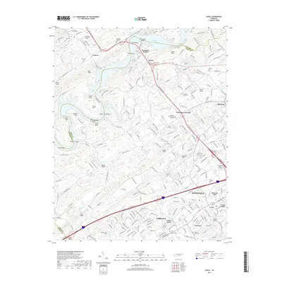
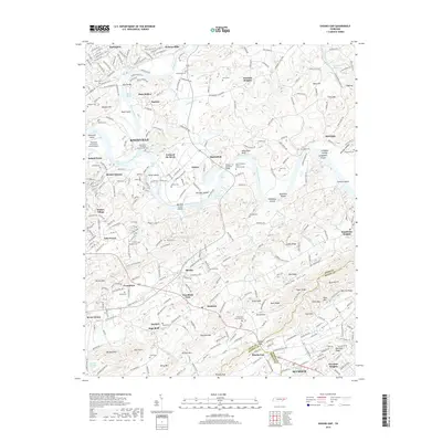
Historical Maps of Knoxville Through Time
44 maps found

1935 Bearden
Knox County, TN

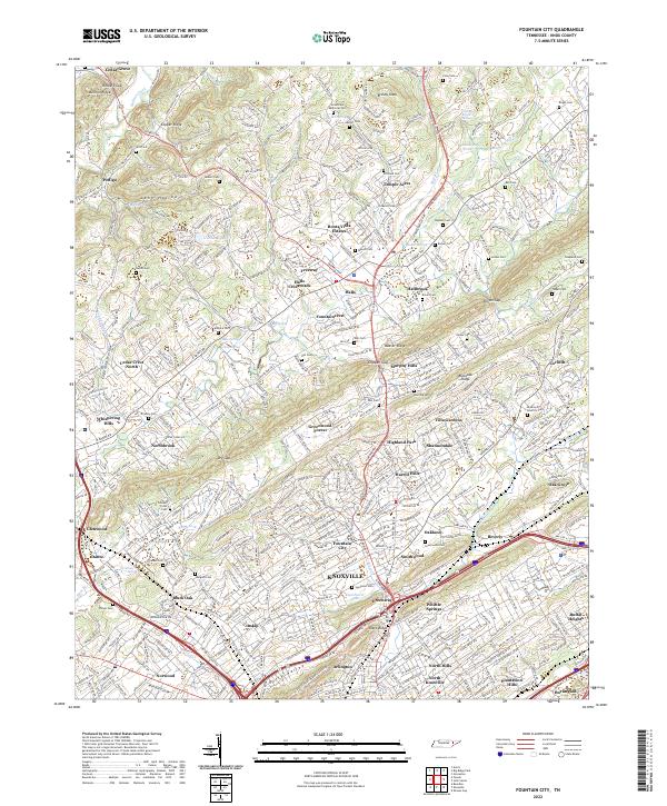
1935 Fountain City
Knox County, TN

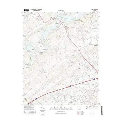
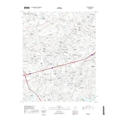
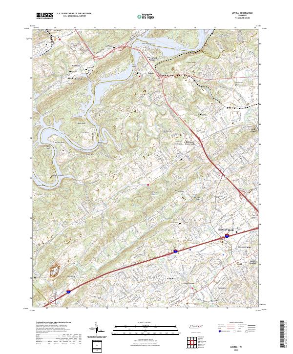
1935 Lovell
Knox County, TN

1936 Friendship
Knox County, TN

1936 Gorryton
Knox County, TN

1936 Powell Station
Knox County, TN

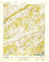
1936 Shooks Gap
Knox County, TN
1940 Bearden
Knox County, TN

1940 Lovell
Knox County, TN
1940 Shooks Gap
Knox County, TN

1941 Fountain City
Knox County, TN

1941 Lovell
Knox County, TN
1941 Powell Station
Knox County, TN

1953 Bearden
Knox County, TN
1953 Fountain City
Knox County, TN
1953 Lovell
Knox County, TN
1953 Shooks Gap
Knox County, TN

1966 Bearden
Knox County, TN
1966 Fountain City
Knox County, TN
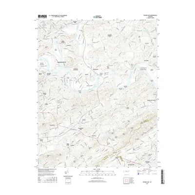
1966 Shooks Gap
Knox County, TN
1968 Lovell
Knox County, TN
1978 Bearden
Knox County, TN
1978 Fountain City
Knox County, TN
1979 Shooks Gap
Knox County, TN
2010 Bearden
Knox County, TN
2010 Fountain City
Knox County, TN
2010 Lovell
Knox County, TN
2010 Shooks Gap
Knox County, TN
2013 Fountain City
Knox County, TN
2013 Lovell
Knox County, TN
2014 Bearden
Knox County, TN
2014 Shooks Gap
Knox County, TN
2016 Bearden
Knox County, TN
2016 Fountain City
Knox County, TN
2016 Lovell
Knox County, TN
2016 Shooks Gap
Knox County, TN
2019 Bearden
Knox County, TN
2019 Fountain City
Knox County, TN
2019 Lovell
Knox County, TN
2019 Shooks Gap
Knox County, TN
2022 Bearden
Knox County, TN
2022 Fountain City
Knox County, TN
2022 Lovell
Knox County, TN
2022 Shooks Gap
Knox County, TN