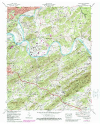
1979 Map of Shooks Gap
USGS Topo · Published 1988About this map
The confluence of the Holston River and the French Broad River defines this landscape, where the waters merge at the Forks of the River to form the Tennessee River. This 1980s revision captures the complex boundary between the growing eastern suburbs of Knoxville and the agricultural ridges of the Bays Mountain range. Along the riverfront, the map details industrial and transit infrastructure, including the Downtown Island Airport and the Filtration Plant near Marbledale.
Find a feature on this map
168 named features on this map. Tap any name to fly to it.
Don’t see what you’re looking for? This feature index may not catch every label — zoom into the map to look around manually.
Map Details
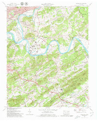
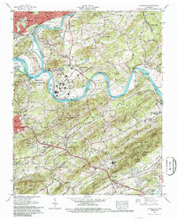
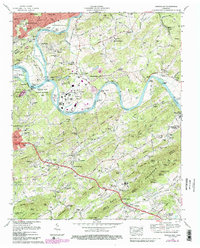
Editions of this 1979 Shooks Gap Map
4 editions found
Other maps of this area

1886 · Knoxville
USGS Topo · 1:125,000

1892 · Knoxville
USGS Topo · 1:125,000

1894 · Knoxville
USGS Topo · 1:125,000

1895 · Knoxville
USGS Topo · 1:125,000

1897 · Maynardville
USGS Topo · 1:125,000

1900 · Maynardville
USGS Topo · 1:125,000

1901 · Knoxville
USGS Topo · 1:125,000

1935 · Mascot
USGS Topo · 1:24,000

1935 · Knoxville
USGS Topo · 1:48,000

1935 · Straw Plains
USGS Topo · 1:48,000