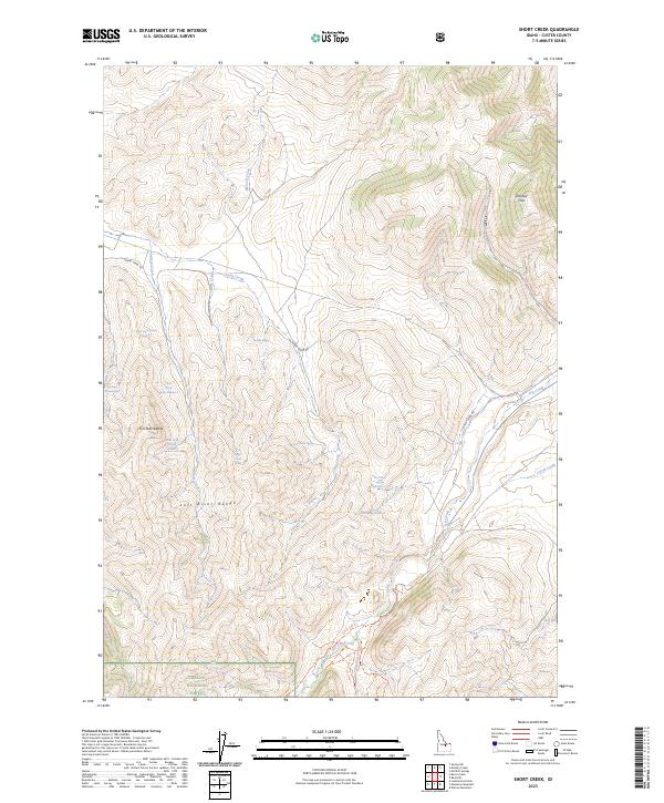
2023 Map of Short Creek
USGS Topo · Published 2023About this map
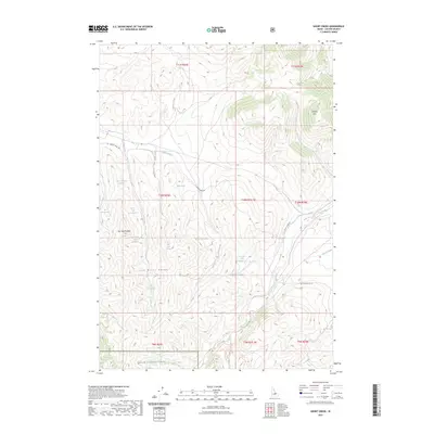
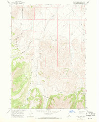
The Lost River Range and Donkey Hills define this high-elevation landscape in Custer County, where complex drainage systems descend toward the valleys. Water is the primary marker of life in this arid terrain, with numerous named sources such as Middle Spring, Iron Spring, and Short Creek Spring Number 1 sustaining the watershed. The southern portion of the map is protected within the Challis National Forest, indicating a management boundary that preserves the area's wild character. Movement through this remote country is limited to established routes like Burnt Creek Rd and the Long Lost Creek Trl. Indigenous place names including Pia Soko Katete and Pia Soko Paatettopal provide a deeper layer of cultural identification for specific terrain features alongside standard hydrologic labels like Elkhorn Creek and Dry Creek.
Find a feature on this map
32 named features on this map. Tap any name to fly to it.
Don’t see what you’re looking for? This feature index may not catch every label — zoom into the map to look around manually.
Map Details
Editions of this 2023 Short Creek Map
2 editions found
Other maps of this area

1935 · Borah Peak
USGS Topo · 1:125,000

1938 · Borah Peak
USGS Topo · 1:125,000

1955 · Dubois
USGS Topo · 1:250,000

1956 · Donkey Hills
USGS Topo · 1:62,500

1957 · Gilmore
USGS Topo · 1:62,500

1957 · Hawley Mountain
USGS Topo · 1:62,500

1958 · Dubois
USGS Topo · 1:250,000
1962 · Leatherman Peak
USGS Topo · 1:24,000
1967 · Massacre Mtn
USGS Topo · 1:24,000
1967 · Burnt Creek
USGS Topo · 1:24,000