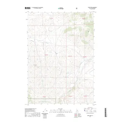
2023 Map of Short Creek
USGS Topo · Published 2023About this map
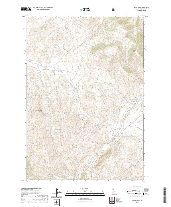
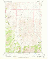
The eastern slopes of the Lost River Range dominate this landscape in Custer County, Idaho, where high-altitude drainages and vital water sources define the territory. The survey reveals a network of springs essential for life in this arid, mountainous environment, including Short Creek Spring Number 1, Middle Spring, and Iron Spring. The presence of labels such as Pia Soko'Patezopa'i and Pia Soko Katete provides a specific cultural layer to the geography, anchoring the map to Shoshone-Bannock heritage within the region.
Find a feature on this map
32 named features on this map. Tap any name to fly to it.
Don’t see what you’re looking for? This feature index may not catch every label — zoom into the map to look around manually.
Map Details
Editions of this 2023 Short Creek Map
2 editions found
Other maps of this area

1935 · Borah Peak
USGS Topo · 1:125,000

1938 · Borah Peak
USGS Topo · 1:125,000

1955 · Dubois
USGS Topo · 1:250,000

1956 · Donkey Hills
USGS Topo · 1:62,500

1957 · Gilmore
USGS Topo · 1:62,500

1957 · Hawley Mountain
USGS Topo · 1:62,500

1958 · Dubois
USGS Topo · 1:250,000
1962 · Leatherman Peak
USGS Topo · 1:24,000
1967 · Massacre Mtn
USGS Topo · 1:24,000
1967 · Burnt Creek
USGS Topo · 1:24,000