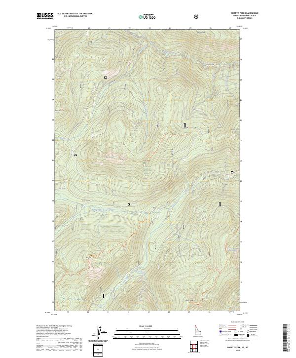
2024 Map of Shorty Peak
USGS Topo · Published 2024About this map
Kaniksu National Forest dominates this landscape in Boundary County, where high peaks and ridgelines define the topography. The high point of Shorty Peak stands central to a network of primitive access points, including the Shorty Spring Trl and the Saddle Pass Rd. The terrain is marked by significant drainages such as Saddle Creek and Boundary Creek, which flow through the steep valleys between Silver Mtn and Lone Tree Peak.
Find a feature on this map
39 named features on this map. Tap any name to fly to it.
Don’t see what you’re looking for? This feature index may not catch every label — zoom into the map to look around manually.
Map Details
Editions of this 2024 Shorty Peak Map
This is the sole edition of this map. No revisions or reprints were ever made.
Other maps of this area

1911 · Priest Lake
USGS Topo · 1:250,000

1913 · Priest Lake
USGS Topo · 1:250,000

1958 · Sandpoint
USGS Topo · 1:250,000

1963 · Sandpoint
USGS Topo · 1:250,000

1968 · Smith Falls
USGS Topo · 1:24,000

1969 · Grass Mountain
USGS Topo · 1:24,000
1969 · Caribou Creek
USGS Topo · 1:24,000

1969 · Pyramid Peak
USGS Topo · 1:24,000
1969 · Shorty Peak
USGS Topo · 1:24,000
1969 · Smith Peak
USGS Topo · 1:24,000