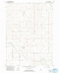
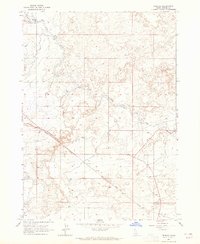
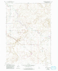
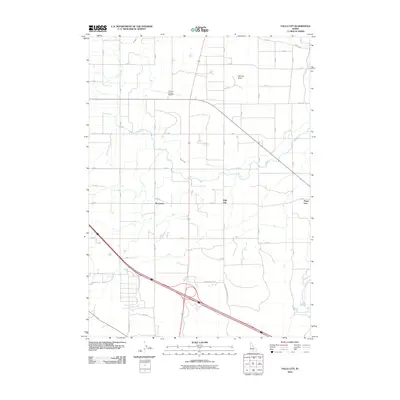
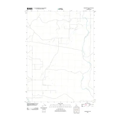
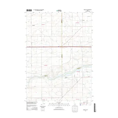
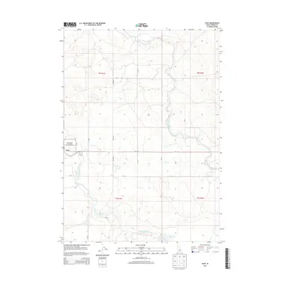
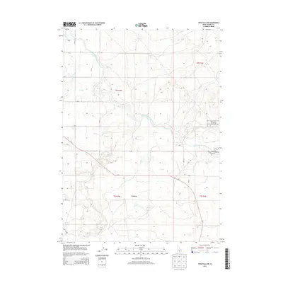
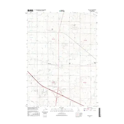
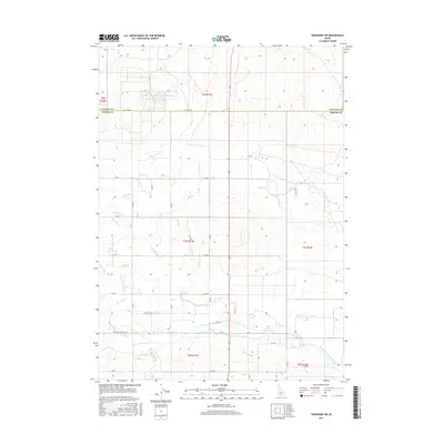
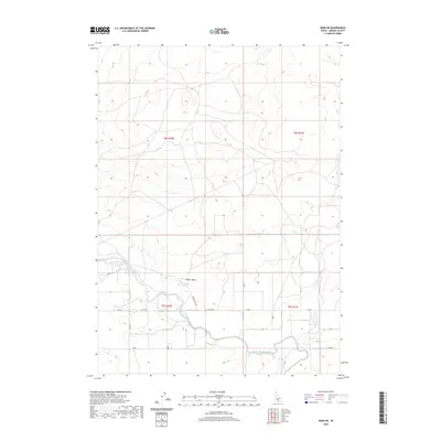
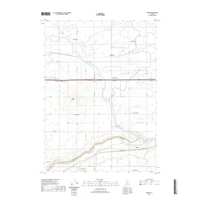
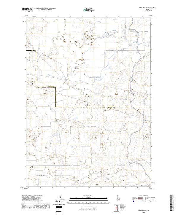
1971 Map of Shoshone SE
USGS Topo · Published 1992About this map
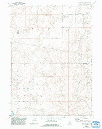
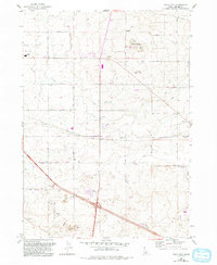
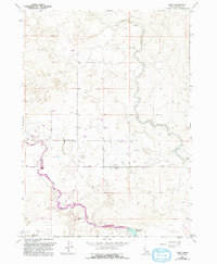
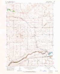
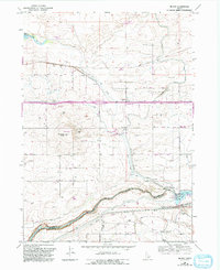
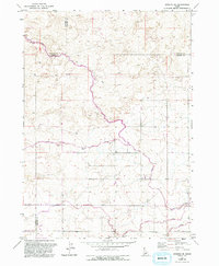
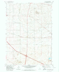
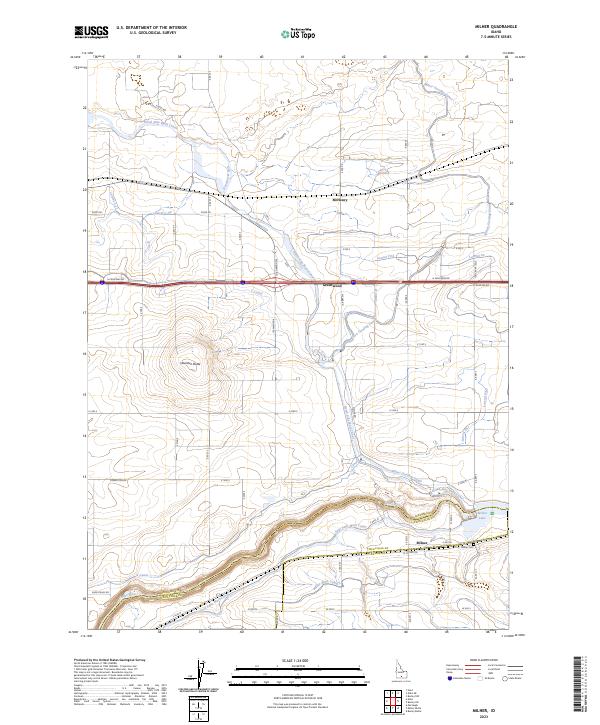
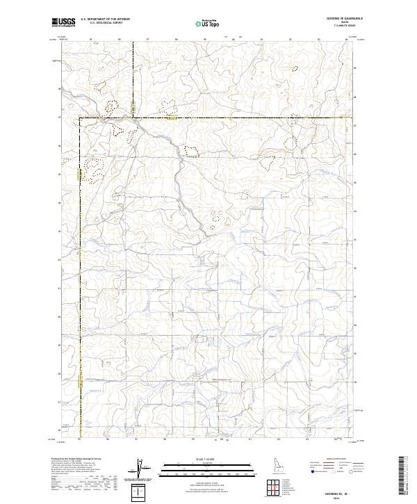
Water management infrastructure dominates the landscape of southern Idaho as depicted in this late 20th-century survey. The agricultural development of the Snake River Plain is evidenced by the extensive network of irrigation features, most notably the Milner Gooding Canal which cuts through the region. The map captures the industrial heartbeat of these waterworks, including a powerhouse and its associated penstock, alongside the Side Main Canal.
Find a feature on this map
10 named features on this map. Tap any name to fly to it.
Don’t see what you’re looking for? This feature index may not catch every label — zoom into the map to look around manually.
Map Details
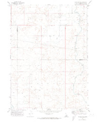
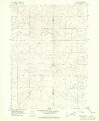
Editions of this 1971 Shoshone SE Map
2 editions found
Historical Maps of Jerome County Through Time
63 maps found
1964 Burley NW
Jerome County, ID
1964 Burley SW
Jerome County, ID
1964 Eden NE
Jerome County, ID
1964 Falls City
Jerome County, ID
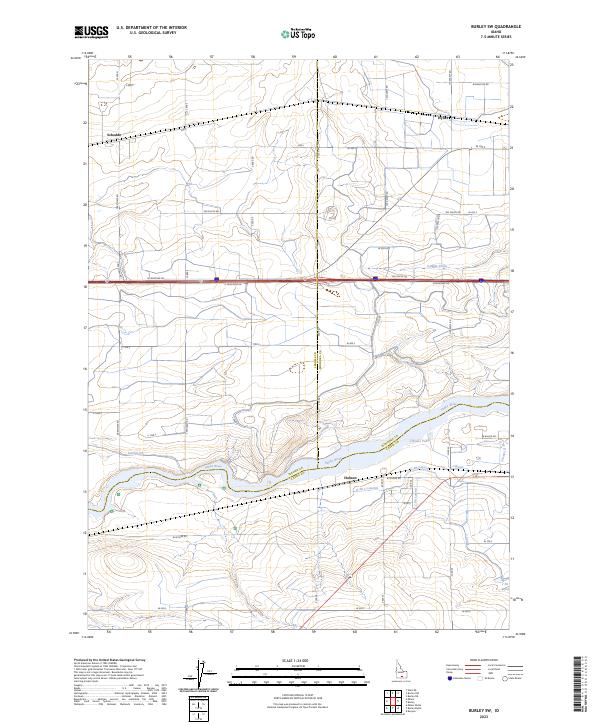
1964 Hunt
Jerome County, ID
1964 Milner
Jerome County, ID
1964 Perrine
Jerome County, ID
1965 Milner
Jerome County, ID
1971 Gooding SE
Jerome County, ID
1971 Shoshone SE
Jerome County, ID

1971 Shoshone SW
Jerome County, ID
1979 Falls City
Jerome County, ID
1979 Twin Falls NE
Jerome County, ID
2010 Burley NW
Jerome County, ID
2010 Burley SW
Jerome County, ID
2010 Eden NE
Jerome County, ID
2010 Falls City
Jerome County, ID
2010 Gooding SE
Jerome County, ID
2010 Hunt
Jerome County, ID
2010 Milner
Jerome County, ID
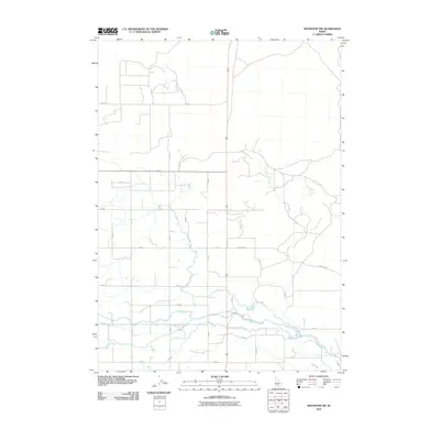
2010 Shoshone SE
Jerome County, ID
2010 Shoshone SW
Jerome County, ID
2010 Twin Falls NE
Jerome County, ID
2013 Burley NW
Jerome County, ID
2013 Burley SW
Jerome County, ID
2013 Eden NE
Jerome County, ID
2013 Falls City
Jerome County, ID
2013 Gooding SE
Jerome County, ID
2013 Hunt
Jerome County, ID
2013 Milner
Jerome County, ID
2013 Shoshone SE
Jerome County, ID
2013 Shoshone SW
Jerome County, ID
2013 Twin Falls NE
Jerome County, ID
2017 Burley NW
Jerome County, ID
2017 Burley SW
Jerome County, ID
2017 Eden NE
Jerome County, ID
2017 Falls City
Jerome County, ID
2017 Gooding SE
Jerome County, ID
2017 Hunt
Jerome County, ID

2017 Milner
Jerome County, ID
2017 Shoshone SE
Jerome County, ID
2017 Shoshone SW
Jerome County, ID
2017 Twin Falls NE
Jerome County, ID
2020 Burley NW
Jerome County, ID
2020 Burley SW
Jerome County, ID
2020 Eden NE
Jerome County, ID
2020 Falls City
Jerome County, ID
2020 Gooding SE
Jerome County, ID
2020 Hunt
Jerome County, ID
2020 Milner
Jerome County, ID
2020 Shoshone SE
Jerome County, ID
2020 Shoshone SW
Jerome County, ID
2020 Twin Falls NE
Jerome County, ID
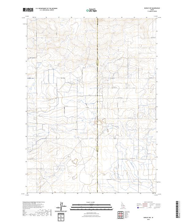
2023 Burley NW
Jerome County, ID
2023 Burley SW
Jerome County, ID
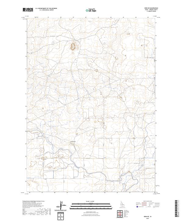
2023 Eden NE
Jerome County, ID
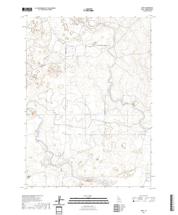
2023 Hunt
Jerome County, ID
2023 Milner
Jerome County, ID
2023 Shoshone SE
Jerome County, ID
2023 Shoshone SW
Jerome County, ID
2024 Falls City
Jerome County, ID
2024 Gooding SE
Jerome County, ID
2024 Twin Falls NE
Jerome County, ID