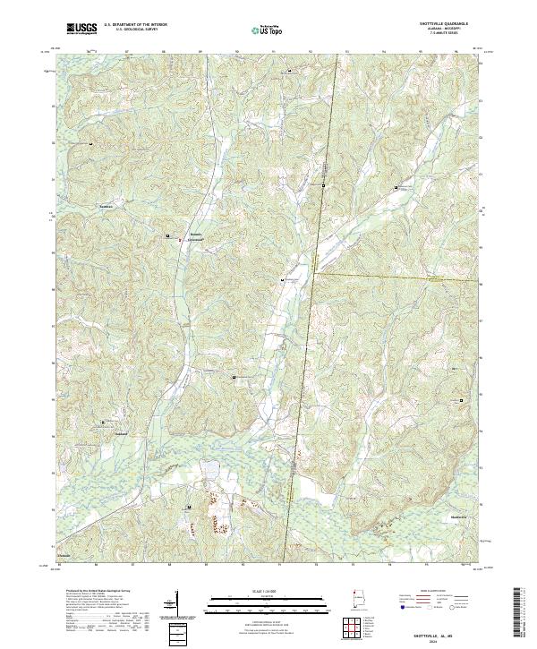
2024 Map of Shottsville
USGS Topo · Published 2024About this map
Shottsville and Bounds Crossroads anchor this modern landscape along the Alabama and Mississippi border, where the rural character of Marion and Itawamba counties remains defined by winding creek valleys and family-named cemeteries. The drainage of Bull Mountain Creek and its many tributaries, including Briar Creek and McConegal Creek, dictates the placement of long-standing crossroads like Oakland.
Find a feature on this map
76 named features on this map. Tap any name to fly to it.
Don’t see what you’re looking for? This feature index may not catch every label — zoom into the map to look around manually.
Map Details
Editions of this 2024 Shottsville Map
This is the sole edition of this map. No revisions or reprints were ever made.
Other maps of this area

1936 · Red Bay
USGS Topo · 1:24,000

1936 · Vina
USGS Topo · 1:24,000

1936 · Halltown
USGS Topo · 1:24,000

1950 · Vina
USGS Topo · 1:24,000
1950 · Halltown
USGS Topo · 1:24,000

1951 · Vina
USGS Topo · 1:24,000

1951 · Red Bay
USGS Topo · 1:24,000
1951 · Halltown
USGS Topo · 1:24,000

1956 · Tupelo
USGS Topo · 1:250,000

1958 · Tupelo
USGS Topo · 1:250,000