
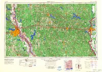
1984 Map of Shreveport
USGS Topo · Published 1984About this map
Shreveport and Bossier City anchor this 1984 survey, which highlights a region defined by extensive flood control and navigation improvements along the Red River. The landscape is a complex network of bayous and reservoir systems, from the expansive Lake Bistineau to the smaller Kepler Creek Lake and D'Arbonne Lake. The map reveals the heavy military and industrial footprint of Northern Louisiana during the late Cold War era, specifically the Barksdale Air Force Base and the Louisiana Ordnance Plant.
Find a feature on this map
89 named features on this map. Tap any name to fly to it.
Don’t see what you’re looking for? This feature index may not catch every label — zoom into the map to look around manually.
Map Details
Editions of this 1984 Shreveport Map
2 editions found
Other maps of this area
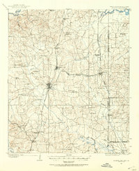
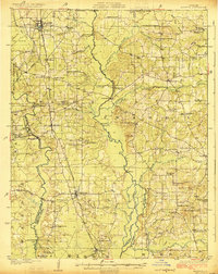
1907 · Atlanta
USGS Topo · 1:62,500
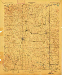
1910 · Atlanta
USGS Topo · 1:62,500
1922 · Sarepta
USGS Topo · 1:62,500
1924 · Sarepta
USGS Topo · 1:62,500

1927 · El Dorado
USGS Topo · 1:62,500

1930 · El Dorado
USGS Topo · 1:62,500

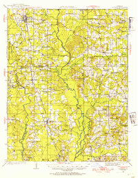
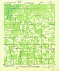
1932 · Hosston NW
USGS Topo · 1:31,680
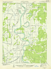
1932 · Bossier SE
USGS Topo · 1:31,680
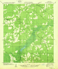
1932 · Hosston NE
USGS Topo · 1:31,680
1932 · Bossier NE
USGS Topo · 1:31,680