
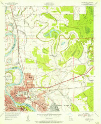
1932 Map of Shreveport SE
USGS Topo · Published 1932About this map
Cross Lake and its intricate northern shorelines dominate this 1932 topographic study, revealing the complex water systems of northwest Louisiana before extensive modern modification. The landscape is defined by the Twelvemile Shreveport Waterway and the meandering course of the Red River, where old parish lines like the Old Caddo Bossier Parish Line follow former river bends that have since shifted. This era shows a transition in river crossings, notably featuring both the Albany Ferry and the Jim Moorings Ferry Bridge near Cash Point.
Find a feature on this map
46 named features on this map. Tap any name to fly to it.
Don’t see what you’re looking for? This feature index may not catch every label — zoom into the map to look around manually.
Map Details
Editions of this 1932 Shreveport SE Map
This is the sole edition of this map. No revisions or reprints were ever made.
Other maps of this area

1932 · Bossier SW
USGS Topo · 1:31,680

1932 · Bossier NW
USGS Topo · 1:31,680

1932 · Shreveport NE
USGS Topo · 1:31,680

1941 · Forbing
USGS Topo · 1:31,680

1945 · Greenwood
USGS Topo · 1:62,500

1948 · Mooringsport
USGS Topo · 1:62,500

1948 · Bossier City
USGS Topo · 1:62,500

1948 · Caspiana
USGS Topo · 1:62,500

1955 · Shreveport
USGS Topo · 1:250,000
1955 · Bossier City
USGS Topo · 1:24,000