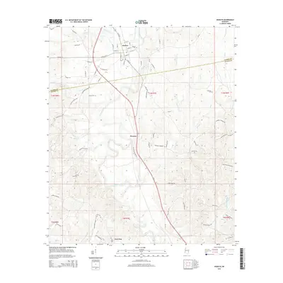
2015 Map of Shubuta
USGS Topo · Published 2015About this map
Shubuta sits as the primary settlement on this landscape, positioned where the Chickasawhay River and Shubuta Creek converge. The town's grid of streets, including E Eucutta St and Chestnut St, gives way to a network of rural county roads that connect outlying communities like Hiwannee and West King. This 2015 data illustrates a landscape defined by its river bottomlands and the modest elevations of Waller Ridge to the southwest.
Find a feature on this map
82 named features on this map. Tap any name to fly to it.
Don’t see what you’re looking for? This feature index may not catch every label — zoom into the map to look around manually.
Map Details
Editions of this 2015 Shubuta Map
This is the sole edition of this map. No revisions or reprints were ever made.
Other maps of this area

1953 · Hattiesburg
USGS Topo · 1:250,000

1958 · Hattiesburg
USGS Topo · 1:250,000

1964 · Carmichael
USGS Topo · 1:24,000

1964 · Denham
USGS Topo · 1:24,000

1964 · Eucutta
USGS Topo · 1:24,000

1964 · Hale
USGS Topo · 1:24,000

1964 · De Soto
USGS Topo · 1:24,000

1964 · Waynesboro
USGS Topo · 1:24,000

1964 · Whistler
USGS Topo · 1:24,000

1964 · Shubuta
USGS Topo · 1:24,000