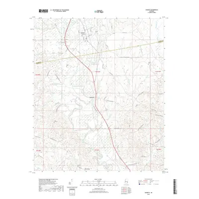
2018 Map of Shubuta
USGS Topo · Published 2018About this map
The Chickasawhay River serpentines through the heart of this East Mississippi landscape, defining the topography of the border between Clarke and Wayne counties. The historic town of Shubuta serves as a primary point of reference, with its grid of streets such as Eucutta St and High St clustered north of the river. This 2018 survey reveals a territory marked by family lineages and community landmarks, particularly evident in the distribution of rural burial grounds like Menasco Cem and Atkinson Cem.
Find a feature on this map
77 named features on this map. Tap any name to fly to it.
Don’t see what you’re looking for? This feature index may not catch every label — zoom into the map to look around manually.
Map Details
Editions of this 2018 Shubuta Map
This is the sole edition of this map. No revisions or reprints were ever made.
Other maps of this area

1953 · Hattiesburg
USGS Topo · 1:250,000

1958 · Hattiesburg
USGS Topo · 1:250,000

1964 · Carmichael
USGS Topo · 1:24,000

1964 · Denham
USGS Topo · 1:24,000

1964 · Eucutta
USGS Topo · 1:24,000

1964 · Hale
USGS Topo · 1:24,000

1964 · De Soto
USGS Topo · 1:24,000

1964 · Waynesboro
USGS Topo · 1:24,000

1964 · Whistler
USGS Topo · 1:24,000

1964 · Shubuta
USGS Topo · 1:24,000