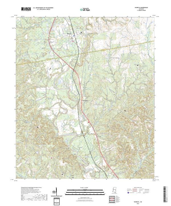
2024 Map of Shubuta
USGS Topo · Published 2024About this map
Shubuta sits at the confluence of Shubuta Creek and the Chickasawhay River, serving as a historic nexus for this borderland between Clarke and Wayne counties. The town plan is oriented around a traditional grid with streets such as Chestnut St and Eucutta St, while the surrounding landscape is defined by the winding river valley and numerous tributary branches like Mungo Creek and Nickleson Creek.
Find a feature on this map
77 named features on this map. Tap any name to fly to it.
Don’t see what you’re looking for? This feature index may not catch every label — zoom into the map to look around manually.
Map Details
Editions of this 2024 Shubuta Map
This is the sole edition of this map. No revisions or reprints were ever made.
Other maps of this area

1953 · Hattiesburg
USGS Topo · 1:250,000

1958 · Hattiesburg
USGS Topo · 1:250,000

1964 · Carmichael
USGS Topo · 1:24,000

1964 · Denham
USGS Topo · 1:24,000

1964 · Eucutta
USGS Topo · 1:24,000

1964 · Hale
USGS Topo · 1:24,000

1964 · De Soto
USGS Topo · 1:24,000

1964 · Waynesboro
USGS Topo · 1:24,000

1964 · Whistler
USGS Topo · 1:24,000

1964 · Shubuta
USGS Topo · 1:24,000